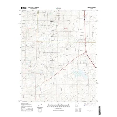
2017 Map of Spring Lake
USGS Topo · Published 2017About this map
Iron Springs and the surrounding communities of Landmark and East End define the landscape where Pulaski and Saline Counties meet. This 2017 survey shows a highly developed suburban and rural interface, characterized by a complex network of residential roads like Chicot Rd and Marylake Dr. The area is deeply rooted in local history, evidenced by a high density of family and community burial grounds, including Hicks Cem, Landmark Cem, Upchurch Cem, and Salem Cem.
Find a feature on this map
189 named features on this map. Tap any name to fly to it.
Don’t see what you’re looking for? This feature index may not catch every label — zoom into the map to look around manually.
Map Details
Editions of this 2017 Spring Lake Map
This is the sole edition of this map. No revisions or reprints were ever made.
Other maps of this area

1891 · Little Rock
USGS Topo · 1:125,000

1893 · Little Rock
USGS Topo · 1:125,000

1932 · Pastoria
USGS Topo · 1:62,500

1935 · Little Rock
USGS Topo · 1:24,000

1935 · Sweet Home
USGS Topo · 1:24,000

1935 · Alexander
USGS Topo · 1:48,000

1935 · Pastoria
USGS Topo · 1:62,500

1940 · Woodson
USGS Topo · 1:31,680

1941 · Alexander
USGS Topo · 1:62,500

1944 · Alexander
USGS Topo · 1:31,680