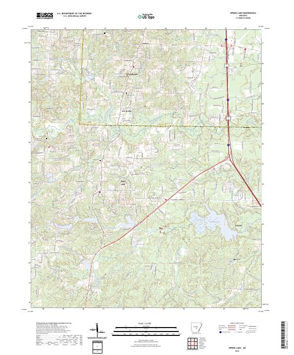
2024 Map of Spring Lake
USGS Topo · Published 2024About this map
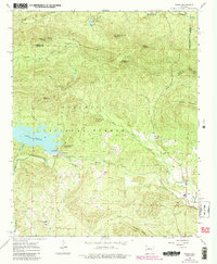
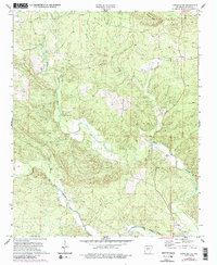
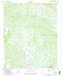
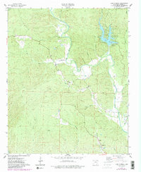
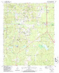
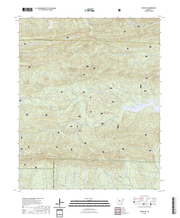
The Saline and Pulaski County border runs through this modern landscape, where the growing residential areas of East End and Lakeside meet the wetlands surrounding Ferguson Lake. The map reveals a transition from denser residential developments near Parkers and Landmark in the north to a more hydraulic landscape in the south. This southern half is defined by a dense network of water bodies, including Mashburn Lake Number Two and Hester Lake, alongside meandering tributaries like Kelly Branch and Miller Creek. Several small family and community burial grounds, such as Salem Cem, Landmark Cem, and Upchurch Cem, are preserved amidst the evolving suburban and commercial corridors. The terrain is relatively level but intricately carved by drainage patterns, where Lorance Creek and McCrory Branch flow toward the larger lake systems.
Find a feature on this map
120 named features on this map. Tap any name to fly to it.
Don’t see what you’re looking for? This feature index may not catch every label — zoom into the map to look around manually.
Map Details
Editions of this 2024 Spring Lake Map
This is the sole edition of this map. No revisions or reprints were ever made.
Historical Maps of Parkers Through Time
22 maps found
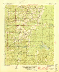
1944 Spring Lake
Saline County, AR
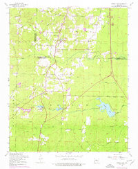
1954 Spring Lake
Saline County, AR
1963 Fourche SW
Saline County, AR
1963 Paron
Saline County, AR
1963 Paron SW
Saline County, AR
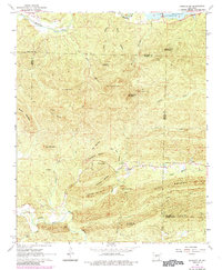
1968 Nimrod SE
Saline County, AR
1972 Goosepond Mountain
Saline County, AR
1972 Lonsdale NE
Saline County, AR
1974 Congo
Saline County, AR
1974 Lake Norrell
Saline County, AR
1987 Spring Lake
Saline County, AR
1994 Congo
Saline County, AR
1994 Spring Lake
Saline County, AR
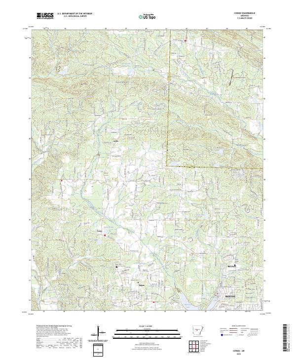
2024 Congo
Saline County, AR
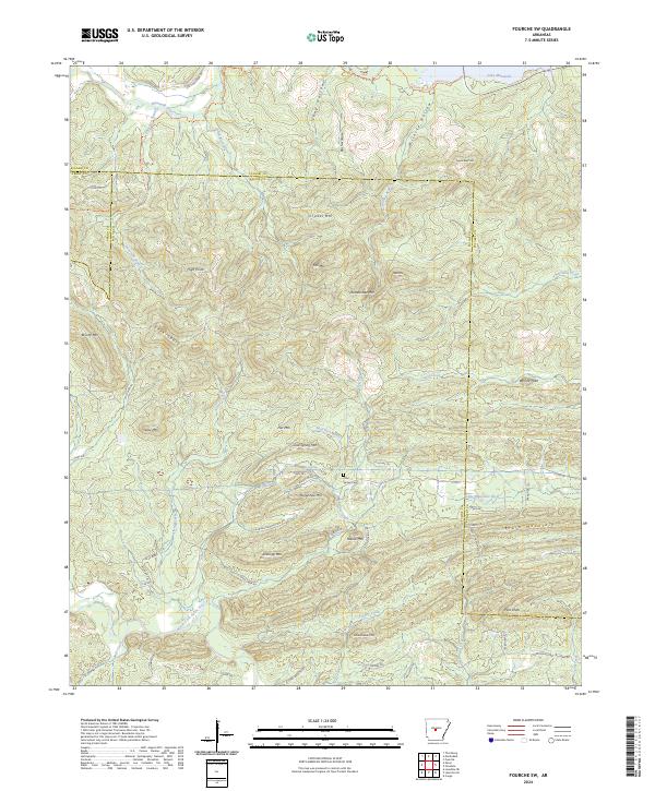
2024 Fourche SW
Saline County, AR
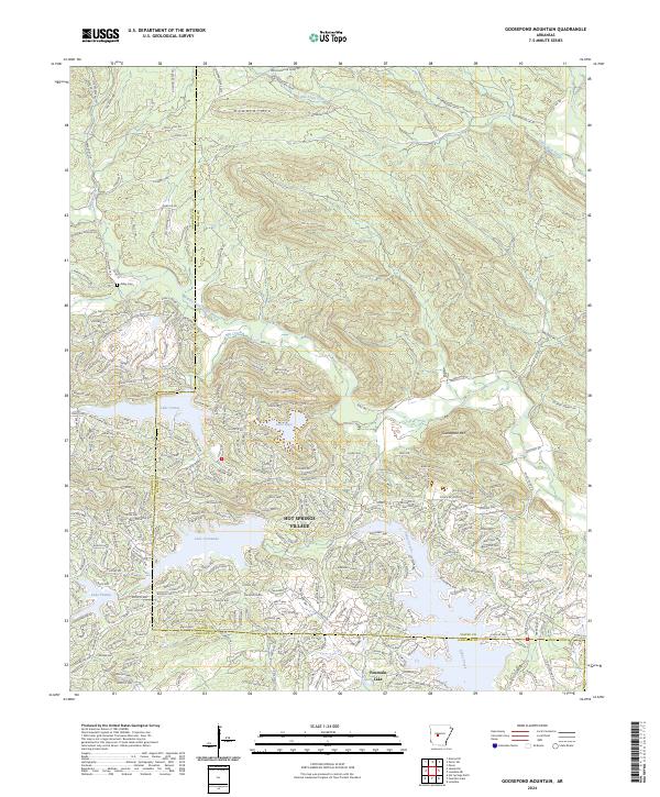
2024 Goosepond Mountain
Saline County, AR
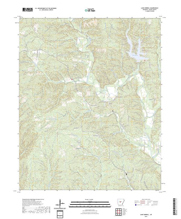
2024 Lake Norrell
Saline County, AR
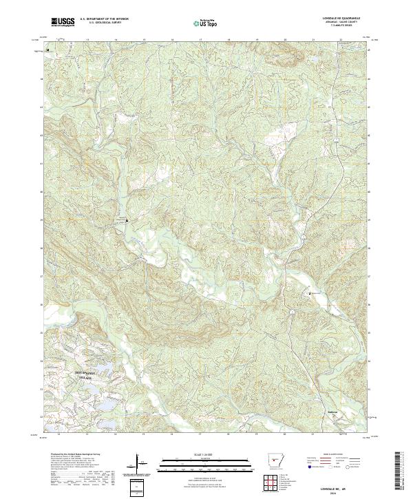
2024 Lonsdale NE
Saline County, AR
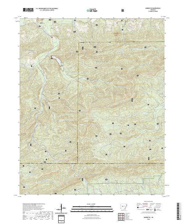
2024 Nimrod SE
Saline County, AR
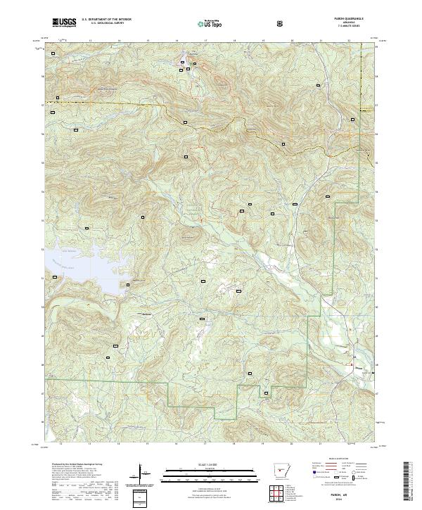
2024 Paron
Saline County, AR
2024 Paron SW
Saline County, AR
2024 Spring Lake
Saline County, AR