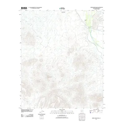
2011 Map of Spring Mountain
USGS Topo · Published 2011About this map
The Gila River defines the eastern edge of this landscape, cutting through the arid terrain of Maricopa County just south of the Arlington Valley. This 2011 survey documents a mix of desert wilderness and specialized infrastructure, including the Gila Compressor Station Airport located near the northern boundary. The central and western portions of the map are dominated by the elevation of Spring Mountain, where the isolated Moody Spring provides a rare water source amidst the network of desert washes.
Find a feature on this map
7 named features on this map. Tap any name to fly to it.
Don’t see what you’re looking for? This feature index may not catch every label — zoom into the map to look around manually.
Map Details
Editions of this 2011 Spring Mountain Map
This is the sole edition of this map. No revisions or reprints were ever made.
Other maps of this area

1951 · Cotton Center
USGS Topo · 1:62,500

1951 · Woolsey Peak
USGS Topo · 1:62,500

1954 · Phoenix
USGS Topo · 1:250,000

1957 · Phoenix
USGS Topo · 1:250,000

1958 · Phoenix
USGS Topo · 1:250,000

1958 · Hassayampa
USGS Topo · 1:24,000

1958 · Buckeye
USGS Topo · 1:62,500

1960 · Phoenix
USGS Topo · 1:250,000

1962 · Arlington
USGS Topo · 1:62,500

1969 · Phoenix
USGS Topo · 1:250,000