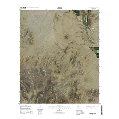
2014 Map of Spring Mountain
USGS Topo · Published 2014About this map
Arlington Valley sits at the heart of this landscape, where the Gila River winds between the rugged peaks of the Buckeye Hills and the expansive Gila Bend Mountains. The map illustrates the vital infrastructure of the region, specifically the irrigation network comprised of the Arlington Canal and the Gila Bend Canal, which transformed this arid stretch of Maricopa County into productive land.
Find a feature on this map
16 named features on this map. Tap any name to fly to it.
Don’t see what you’re looking for? This feature index may not catch every label — zoom into the map to look around manually.
Map Details
Editions of this 2014 Spring Mountain Map
This is the sole edition of this map. No revisions or reprints were ever made.
Other maps of this area

1951 · Cotton Center
USGS Topo · 1:62,500

1951 · Woolsey Peak
USGS Topo · 1:62,500

1954 · Phoenix
USGS Topo · 1:250,000

1957 · Phoenix
USGS Topo · 1:250,000

1958 · Phoenix
USGS Topo · 1:250,000

1958 · Hassayampa
USGS Topo · 1:24,000

1958 · Buckeye
USGS Topo · 1:62,500

1960 · Phoenix
USGS Topo · 1:250,000

1962 · Arlington
USGS Topo · 1:62,500

1969 · Phoenix
USGS Topo · 1:250,000