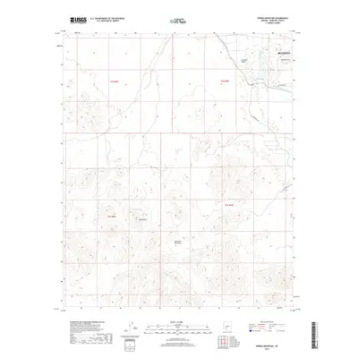
2018 Map of Spring Mountain
USGS Topo · Published 2018About this map
The Gila River corridor defines the eastern edge of this landscape, where the Arlington Canal and Gila Bend Canal diverge to support the agricultural life of the Arlington Valley. This 2018 survey captures the transition from the fertile lowlands near Buckeye into the arid heights of the Gila Bend Mountains and Buckeye Hills. The central topography is dominated by the namesake Spring Mtn and the nearby Moody Spring, which offer a vital water source in this desert environment. Human infrastructure is sparsely represented by utilitarian corridors like Gas Pipeline Rd and Enterprise Rd, reflecting a landscape primarily shaped by hydrologic engineering and natural landforms.
Find a feature on this map
16 named features on this map. Tap any name to fly to it.
Don’t see what you’re looking for? This feature index may not catch every label — zoom into the map to look around manually.
Map Details
Editions of this 2018 Spring Mountain Map
This is the sole edition of this map. No revisions or reprints were ever made.
Other maps of this area

1951 · Cotton Center
USGS Topo · 1:62,500

1951 · Woolsey Peak
USGS Topo · 1:62,500

1954 · Phoenix
USGS Topo · 1:250,000

1957 · Phoenix
USGS Topo · 1:250,000

1958 · Phoenix
USGS Topo · 1:250,000

1958 · Hassayampa
USGS Topo · 1:24,000

1958 · Buckeye
USGS Topo · 1:62,500

1960 · Phoenix
USGS Topo · 1:250,000

1962 · Arlington
USGS Topo · 1:62,500

1969 · Phoenix
USGS Topo · 1:250,000