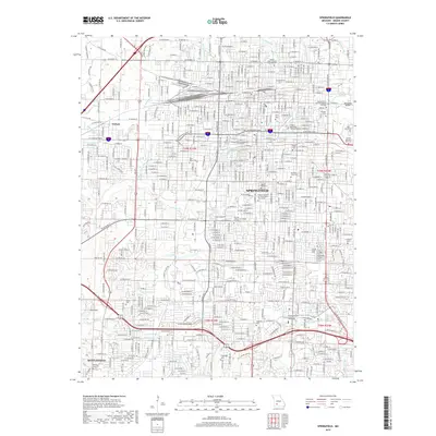
2017 Map of Springfield
USGS Topo · Published 2017About this map
Springfield serves as the focal point of this Greene County survey, revealing a dense urban grid defined by its educational and religious institutions. Major campuses including Drury Univ, Evangel Univ, and Missouri State Univ are prominent, alongside the Assemblies of God Theological Seminary. This area's history as a regional hub is further detailed through its extensive cemetery system, from the large Hazelwood Cem and Maple Park Cem to the smaller Payne Cem and Yarbrough Cem.
Find a feature on this map
66 named features on this map. Tap any name to fly to it.
Don’t see what you’re looking for? This feature index may not catch every label — zoom into the map to look around manually.
Map Details
Editions of this 2017 Springfield Map
This is the sole edition of this map. No revisions or reprints were ever made.
Other maps of this area

1884 · Springfield
USGS Topo · 1:125,000

1886 · Springfield
USGS Topo · 1:125,000

1935 · Springfield
USGS Topo · 1:24,000

1936 · Brookline
USGS Topo · 1:24,000

1937 · Galloway
USGS Topo · 1:24,000

1937 · Ozark
USGS Topo · 1:48,000

1943 · Ozark
USGS Topo · 1:62,500

1945 · Ozark
USGS Topo · 1:62,500

1946 · Bassville
USGS Topo · 1:24,000

1947 · Strafford
USGS Topo · 1:62,500