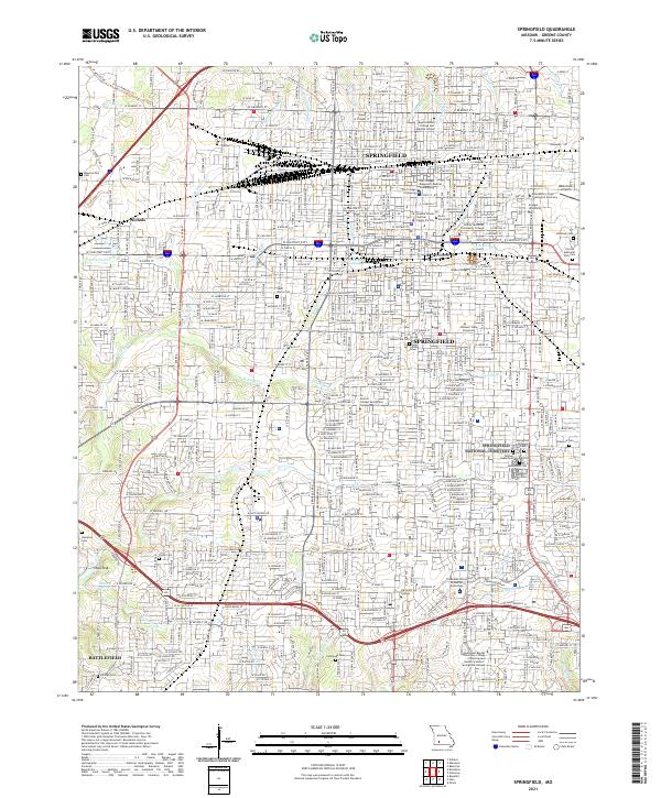
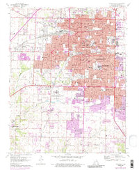
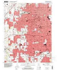
2021 Map of Springfield
USGS Topo · Published 2021This historical map portrays the area of Springfield in 2021, primarily covering Greene County. Featuring a scale of 1:24000, this map provides a highly detailed snapshot of the terrain, roads, buildings, counties, and historical landmarks in the Springfield region at the time. Published in 2021, it is the sole known edition of this map.
Find a feature on this map
230 named features on this map. Tap any name to fly to it.
Don’t see what you’re looking for? This feature index may not catch every label — zoom into the map to look around manually.
Map Details
Editions of this 2021 Springfield Map
This is the sole edition of this map. No revisions or reprints were ever made.
Historical Maps of Greene County Through Time
10 maps found

1884 Springfield
Greene County, MO
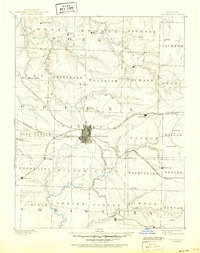
1886 Springfield
Greene County, MO
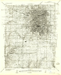
1935 Springfield
Greene County, MO
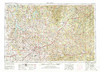
1954 Springfield
Greene County, MO

1958 Springfield
Greene County, MO

1959 Springfield
Greene County, MO
1960 Springfield
Greene County, MO

1982 Springfield
Greene County, MO
1996 Springfield
Greene County, MO
2021 Springfield
Greene County, MO