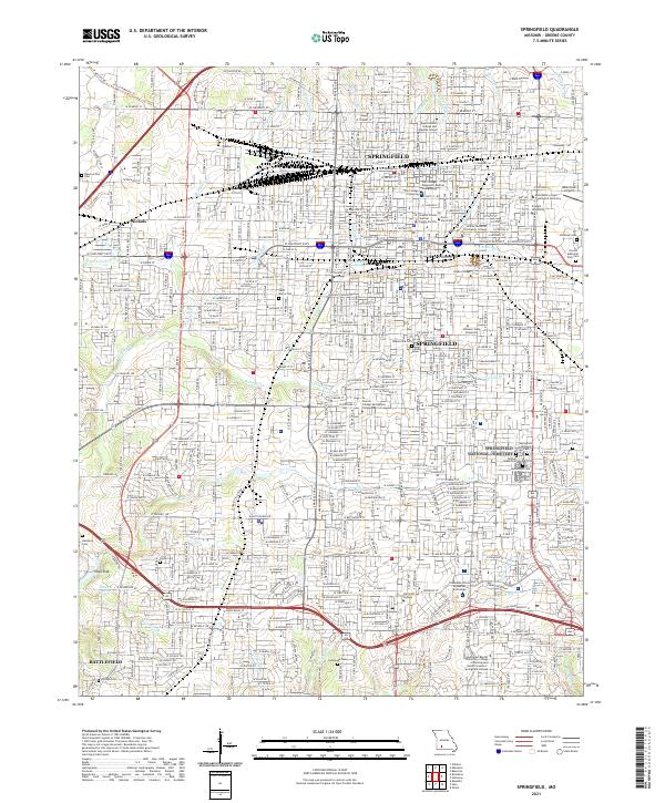
2021 Map of Springfield
USGS Topo · Published 2021About this map
Springfield's urban grid and institutional core are documented in detail on this 2021 survey, which captures the city's complex drainage network and educational infrastructure. The landscape is defined by its numerous higher education and medical centers, including Missouri State University, Drury University, and the CoxHealth School of Medical Technology. Significant genealogical resources are prominent, with the Springfield National Cemetery and Hazelwood Cemetery located in the eastern city sections, while the Resurrection Cemetery sits near the western rail junction at Nichols. Transportation patterns show the modern influence of the BNSF Railway and the recreational reuse of former rail corridors via the Frisco Highline Trail. In the south, the city boundaries reach toward Battlefield, highlighting the continued suburban expansion along the Wilsons Creek and Fassnight Creek corridors.
Find a feature on this map
230 named features on this map. Tap any name to fly to it.
Don’t see what you’re looking for? This feature index may not catch every label — zoom into the map to look around manually.
Map Details
Editions of this 2021 Springfield Map
This is the sole edition of this map. No revisions or reprints were ever made.
Other maps of this area

1884 · Springfield
USGS Topo · 1:125,000

1886 · Springfield
USGS Topo · 1:125,000

1935 · Springfield
USGS Topo · 1:24,000

1936 · Brookline
USGS Topo · 1:24,000

1937 · Galloway
USGS Topo · 1:24,000

1937 · Ozark
USGS Topo · 1:48,000

1943 · Ozark
USGS Topo · 1:62,500

1945 · Ozark
USGS Topo · 1:62,500

1946 · Bassville
USGS Topo · 1:24,000

1947 · Strafford
USGS Topo · 1:62,500