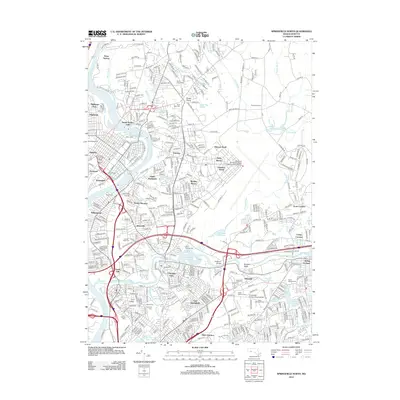
2012 Map of Springfield North
USGS Topo · Published 2012About this map
Chicopee River and the Connecticut River define the industrial and residential geography of this region, meeting near the historic textile and paper manufacturing hubs of South Hadley Falls and Chicopee Falls. This 2012 survey illustrates the dense suburbanization and institutional growth across northern Hampden County, featuring major campuses like Holyoke Community College and Elms College. The map reveals a complex landscape of water management and recreation, from the Chicopee Reservoir and Lake Lorraine to the Van Horn Park Upper Pond.
Find a feature on this map
401 named features on this map. Tap any name to fly to it.
Don’t see what you’re looking for? This feature index may not catch every label — zoom into the map to look around manually.
Map Details
Editions of this 2012 Springfield North Map
This is the sole edition of this map. No revisions or reprints were ever made.
Other maps of this area

1885 · Northampton
USGS Topo · 1:62,500

1886 · Springfield
USGS Topo · 1:62,500

1886 · Northampton
USGS Topo · 1:62,500

1887 · Palmer
USGS Topo · 1:62,500

1887 · Belchertown
USGS Topo · 1:62,500

1889 · Springfield
USGS Topo · 1:62,500

1889 · Palmer
USGS Topo · 1:62,500

1890 · Belchertown
USGS Topo · 1:62,500

1891 · Northampton
USGS Topo · 1:62,500

1893 · Northampton
USGS Topo · 1:62,500