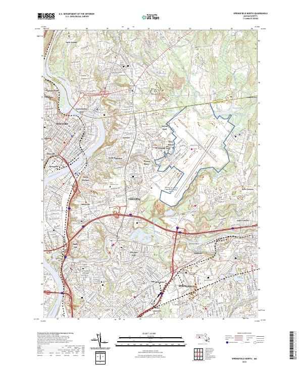
2024 Map of Springfield North
USGS Topo · Published 2024About this map
The confluence of the Connecticut River and the Chicopee River anchors this detailed study of the industrial and residential corridors between Holyoke and Springfield. The landscape is defined by its deep historical roots, evidenced by numerous burial grounds such as the Chicopee Street Cem and Saint Rose Cem. Densely packed neighborhoods like Aldenville, Fairview, and Chicopee Falls are woven together by the rails of the B & M RR and the sprawling footprint of the Westover Air Reserve Base/Metropolitan Airport.
Find a feature on this map
80 named features on this map. Tap any name to fly to it.
Don’t see what you’re looking for? This feature index may not catch every label — zoom into the map to look around manually.
Map Details
Editions of this 2024 Springfield North Map
This is the sole edition of this map. No revisions or reprints were ever made.
Other maps of this area

1885 · Northampton
USGS Topo · 1:62,500

1886 · Springfield
USGS Topo · 1:62,500

1886 · Northampton
USGS Topo · 1:62,500

1887 · Palmer
USGS Topo · 1:62,500

1887 · Belchertown
USGS Topo · 1:62,500

1889 · Springfield
USGS Topo · 1:62,500

1889 · Palmer
USGS Topo · 1:62,500

1890 · Belchertown
USGS Topo · 1:62,500

1891 · Northampton
USGS Topo · 1:62,500

1893 · Northampton
USGS Topo · 1:62,500