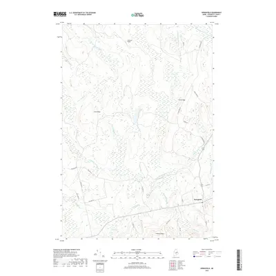
2018 Map of Springfield
USGS Topo · Published 2018About this map
Springfield serves as the primary settlement hub in this part of Penobscot County, situated at a junction of regional roads that traverse a landscape of prominent glacial ridges and extensive wetlands. The terrain is defined by elevated features such as Kirkland Ridge, Crane Ridge, and Tucker Ridge, which dictate the paths of early travel routes like Old Winn Rd and Pea Ridge Rd. These ridges are separated by a complex network of waterways, including Mattagodus Stream and the East Branch Mattakeunk Stream. The presence of Wrights Mill Stream suggests a history tied to water-powered industry, while localized basins like Cole Pond and Holt Pond break the forest cover. This survey captures the rural character of Maine's interior, where land use follows the natural drainage patterns of Bog Brook and Gott Brook amidst the undulating topography of the north woods.
Find a feature on this map
36 named features on this map. Tap any name to fly to it.
Don’t see what you’re looking for? This feature index may not catch every label — zoom into the map to look around manually.
Map Details
Editions of this 2018 Springfield Map
This is the sole edition of this map. No revisions or reprints were ever made.
Other maps of this area

1920 · Winn
USGS Topo · 1:62,500

1931 · Springfield
USGS Topo · 1:48,000

1934 · Springfield
USGS Topo · 1:62,500

1940 · Mattawamkeag
USGS Topo · 1:62,500

1941 · Wytopitlock
USGS Topo · 1:62,500

1942 · Mattawamkeag
USGS Topo · 1:62,500

1943 · Wytopitlock
USGS Topo · 1:62,500

1954 · Millinocket
USGS Topo · 1:250,000

1958 · Millinocket
USGS Topo · 1:250,000

1960 · Millinocket
USGS Topo · 1:250,000