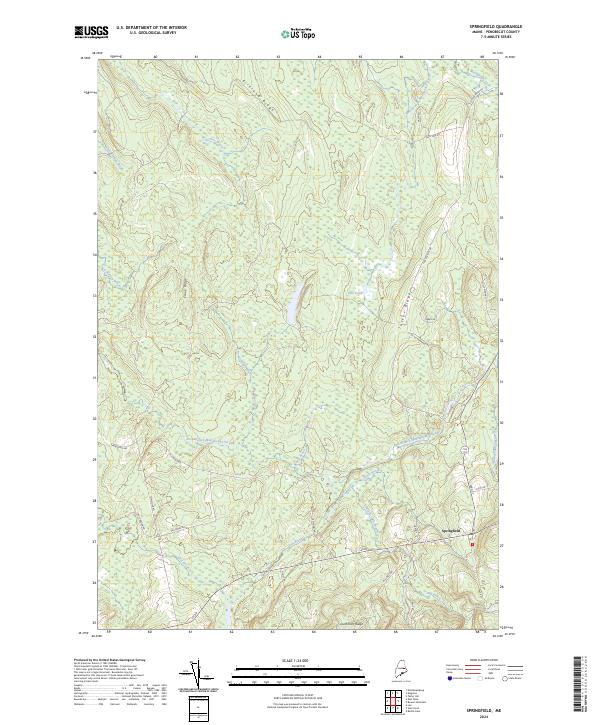
2024 Map of Springfield
USGS Topo · Published 2024About this map
The town of Springfield serves as the primary hub for this Penobscot County landscape, situated at the junction of several historic routes like Lee Rd and Park St. The area is defined by a series of prominent north-south elevations including Kirkland Ridge, Crane Ridge, and Tucker Ridge, which partition a complex drainage network. Water is a central feature of the terrain, with Mattagodus Stream flowing through the northern reaches and the East Branch Mattakeunk Stream cutting across the central lowlands.
Find a feature on this map
37 named features on this map. Tap any name to fly to it.
Don’t see what you’re looking for? This feature index may not catch every label — zoom into the map to look around manually.
Map Details
Editions of this 2024 Springfield Map
This is the sole edition of this map. No revisions or reprints were ever made.
Other maps of this area

1920 · Winn
USGS Topo · 1:62,500

1931 · Springfield
USGS Topo · 1:48,000

1934 · Springfield
USGS Topo · 1:62,500

1940 · Mattawamkeag
USGS Topo · 1:62,500

1941 · Wytopitlock
USGS Topo · 1:62,500

1942 · Mattawamkeag
USGS Topo · 1:62,500

1943 · Wytopitlock
USGS Topo · 1:62,500

1954 · Millinocket
USGS Topo · 1:250,000

1958 · Millinocket
USGS Topo · 1:250,000

1960 · Millinocket
USGS Topo · 1:250,000