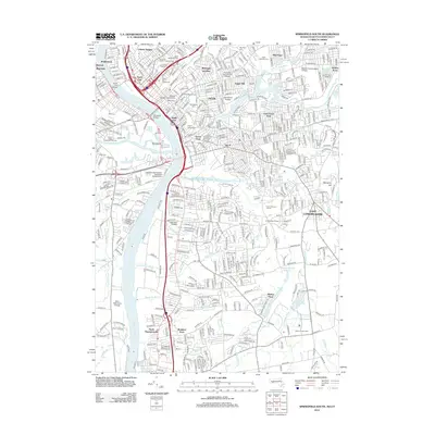
2012 Map of Springfield South
USGS Topo · Published 2012About this map
The Connecticut River serves as the central spine of this landscape, dividing the urbanized neighborhoods of southern Springfield from West Springfield and Agawam. This 2012 survey illustrates the dense residential and institutional character of the region, featuring prominent educational hubs like American International College and Springfield College. The map highlights distinct neighborhood identities, from the historic Old Hill and McKnight and Bay districts to the unique intersection known as The X.
Find a feature on this map
71 named features on this map. Tap any name to fly to it.
Don’t see what you’re looking for? This feature index may not catch every label — zoom into the map to look around manually.
Map Details
Editions of this 2012 Springfield South Map
This is the sole edition of this map. No revisions or reprints were ever made.
Other maps of this area

1886 · Springfield
USGS Topo · 1:62,500

1887 · Palmer
USGS Topo · 1:62,500

1889 · Springfield
USGS Topo · 1:62,500

1889 · Palmer
USGS Topo · 1:62,500

1892 · Hartford
USGS Topo · 1:62,500

1892 · Tolland
USGS Topo · 1:62,500

1893 · Springfield
USGS Topo · 1:62,500

1893 · Palmer
USGS Topo · 1:62,500

1895 · Springfield
USGS Topo · 1:62,500

1896 · Holyoke
USGS Topo · 1:125,000