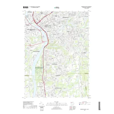
2018 Map of Springfield South
USGS Topo · Published 2018About this map
The Springfield Armory National Historic Site anchors the urban core of this 2018 survey, reflecting the industrial and military heritage of Springfield along the Connecticut River. The map details a densely developed landscape where educational institutions like Springfield College and Western New England Univ are integrated into established neighborhoods such as McKnight and Bay and Sixteen Acres. This modern topography shows the preservation of significant green space and ecological buffers, including the Silvio O Conte National Fish and Wildlife Refuge and the extensive Forest Park. Crossing into Longmeadow and Agawam Town, the terrain is defined by water systems like Pecousic Brook and the prominent Metacomet Ridge. Significant cemetery sites, such as the Old North Burying Ground and Saint Michaels Cem, provide key anchor points for local history and genealogical research in this long-settled region.
Find a feature on this map
78 named features on this map. Tap any name to fly to it.
Don’t see what you’re looking for? This feature index may not catch every label — zoom into the map to look around manually.
Map Details
Editions of this 2018 Springfield South Map
This is the sole edition of this map. No revisions or reprints were ever made.
Other maps of this area

1886 · Springfield
USGS Topo · 1:62,500

1887 · Palmer
USGS Topo · 1:62,500

1889 · Springfield
USGS Topo · 1:62,500

1889 · Palmer
USGS Topo · 1:62,500

1892 · Hartford
USGS Topo · 1:62,500

1892 · Tolland
USGS Topo · 1:62,500

1893 · Springfield
USGS Topo · 1:62,500

1893 · Palmer
USGS Topo · 1:62,500

1895 · Springfield
USGS Topo · 1:62,500

1896 · Holyoke
USGS Topo · 1:125,000