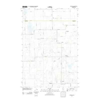
2013 Map of Springvale
USGS Topo · Published 2013About this map
Springvale serves as the focal point for this landscape near the Kanabec and Isanti County line, characterized by a dense concentration of rural cemeteries that suggest a deeply rooted settlement history. Notable sites such as the N Maple Ridge Covenant Cem, Siloa Lutheran Cem, and the Springvale Baptist Church Cem are scattered across the terrain, marking the spiritual and communal centers of the late 19th and early 20th-century farming families.
Find a feature on this map
56 named features on this map. Tap any name to fly to it.
Don’t see what you’re looking for? This feature index may not catch every label — zoom into the map to look around manually.
Map Details
Editions of this 2013 Springvale Map
This is the sole edition of this map. No revisions or reprints were ever made.
Other maps of this area

1953 · Stillwater
USGS Topo · 1:250,000

1955 · Stillwater
USGS Topo · 1:250,000

1958 · Stillwater
USGS Topo · 1:250,000

1961 · Bradford
USGS Topo · 1:24,000

1961 · Cambridge
USGS Topo · 1:62,500

1961 · Brook Park
USGS Topo · 1:62,500

1961 · Springvale
USGS Topo · 1:24,000

1961 · Dalbo
USGS Topo · 1:24,000

1961 · Wyanett
USGS Topo · 1:24,000

1961 · Dalbo
USGS Topo · 1:62,500
Featured Places
- Springvale, MN
- Maple Ridge Township, MN
- Springvale Township, MN
- Grass Lake Township, MN
- Brunswick Township, MN