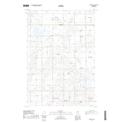
2019 Map of Springvale
USGS Topo · Published 2019About this map
Springvale sits at the southern edge of this Isanti County landscape, marked by a dense network of country roads and several established church cemeteries that anchor the local community. The terrain is defined by the winding course of Stanchfield Cr and numerous glacial basins, including Lory Lake and Lewis Lake. Small settlements like Coin near the Kanabec County line and Elm Park reflect the rural township character of the region. Genealogists will find significant value in the distribution of religious landmarks such as Springvale Baptist Church Cem, Siloa Lutheran Cem, and the various Maple Ridge burial grounds including North Maple Ridge Covenant Cem. These sites, along with the scattered farmsteads connected by routes like University Ave NE, document the enduring settlement patterns of central Minnesota.
Find a feature on this map
76 named features on this map. Tap any name to fly to it.
Don’t see what you’re looking for? This feature index may not catch every label — zoom into the map to look around manually.
Map Details
Editions of this 2019 Springvale Map
This is the sole edition of this map. No revisions or reprints were ever made.
Other maps of this area

1953 · Stillwater
USGS Topo · 1:250,000

1955 · Stillwater
USGS Topo · 1:250,000

1958 · Stillwater
USGS Topo · 1:250,000

1961 · Bradford
USGS Topo · 1:24,000

1961 · Cambridge
USGS Topo · 1:62,500

1961 · Brook Park
USGS Topo · 1:62,500

1961 · Springvale
USGS Topo · 1:24,000

1961 · Dalbo
USGS Topo · 1:24,000

1961 · Wyanett
USGS Topo · 1:24,000

1961 · Dalbo
USGS Topo · 1:62,500
Featured Places
- Springvale, MN
- Maple Ridge Township, MN
- Springvale Township, MN
- Grass Lake Township, MN
- Brunswick Township, MN