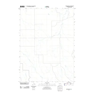
2011 Map of Springview SE
USGS Topo · Published 2011About this map
Spring Creek and Rock Creek carve through the high plains of Keya Paha County in this 2011 survey, illustrating a landscape defined by its drainage network. The map reveals the intricate headwaters of several streams, including Torbell Creek, Wyman Creek, and Wentworth Creek, which feed the local watershed. This modern topographic study shows the rural infrastructure of northern Nebraska, where roads like Vine St intersect an open range otherwise dominated by the natural hydrology of Beeman Creek. The arrangement of these watercourses reflects the underlying geology of the region, providing a detailed perspective on the land's contours and natural drainage patterns as they existed in the early 21st century.
Find a feature on this map
7 named features on this map. Tap any name to fly to it.
Don’t see what you’re looking for? This feature index may not catch every label — zoom into the map to look around manually.
Map Details
Editions of this 2011 Springview SE Map
This is the sole edition of this map. No revisions or reprints were ever made.
Other maps of this area

1949 · Jamison SW
USGS Topo · 1:24,000

1949 · Riverview
USGS Topo · 1:24,000

1949 · Carns
USGS Topo · 1:24,000

1950 · Bassett NW
USGS Topo · 1:24,000

1950 · Carns
USGS Topo · 1:24,000

1950 · Riverview
USGS Topo · 1:24,000

1951 · Jamison SW
USGS Topo · 1:24,000

1955 · O'Neill
USGS Topo · 1:250,000

1959 · O'Neill
USGS Topo · 1:250,000

1964 · Mills
USGS Topo · 1:24,000