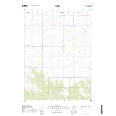
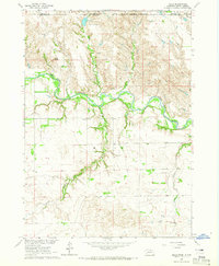
2017 Map of Springview SE
USGS Topo · Published 2017About this map
Spring Creek and Woman Creek flow through this section of Keya Paha County, where the northern Nebraska landscape is defined by the dissection of the High Plains. The drainage patterns of Wyman Creek and Wetherill Creek reveal a deeply eroded terrain that transitions from plateau remnants into the stream valleys. This 2017 survey reflects a sparsely populated ranching environment where travel is centered on Hay Valley Rd. The map provides a precise view of the Public Land Survey System, showing the township and range divisions such as t33n r19w and t34n r20w that have governed land ownership and agricultural boundaries in the region since the era of original settlement. Fairbell Creek further illustrates the complex network of seasonal and perennial waterways that carve through the local topography.
Find a feature on this map
12 named features on this map. Tap any name to fly to it.
Don’t see what you’re looking for? This feature index may not catch every label — zoom into the map to look around manually.
Map Details
Editions of this 2017 Springview SE Map
This is the sole edition of this map. No revisions or reprints were ever made.
Other maps of this area
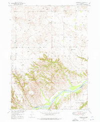
1949 · Jamison SW
USGS Topo · 1:24,000
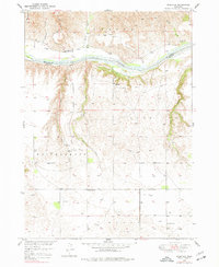
1949 · Riverview
USGS Topo · 1:24,000
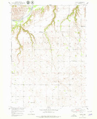
1949 · Carns
USGS Topo · 1:24,000
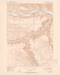
1950 · Bassett NW
USGS Topo · 1:24,000
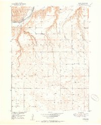
1950 · Carns
USGS Topo · 1:24,000
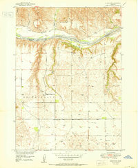
1950 · Riverview
USGS Topo · 1:24,000
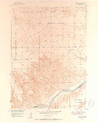
1951 · Jamison SW
USGS Topo · 1:24,000

1955 · O'Neill
USGS Topo · 1:250,000

1959 · O'Neill
USGS Topo · 1:250,000
1964 · Mills
USGS Topo · 1:24,000