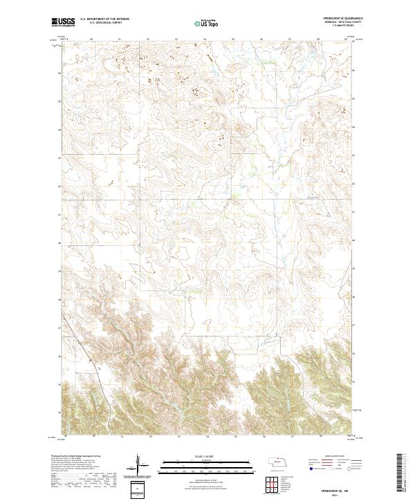
2021 Map of Springview SE
USGS Topo · Published 2021About this map
Spring Creek and its many winding tributaries define the topography of this section of Keya Paha County. The land is marked by a complex system of drainage, where the waters of Wyman Creek and Barbett Creek have carved deep contours into the Nebraska landscape. This 2021 digital survey illustrates the rural character of the region, showing how few human imprints have altered the natural drainage patterns over time. The only primary thoroughfare through this territory is Hay Valley Rd, which traverses the northern sections. For those interested in the Public Land Survey System, the map clearly delineates the township lines, including the transition from t33n r19w to t32n r19w, providing an essential grid for property research and land management in this cattle-ranching country.
Find a feature on this map
10 named features on this map. Tap any name to fly to it.
Don’t see what you’re looking for? This feature index may not catch every label — zoom into the map to look around manually.
Map Details
Editions of this 2021 Springview SE Map
This is the sole edition of this map. No revisions or reprints were ever made.
Other maps of this area

1949 · Jamison SW
USGS Topo · 1:24,000

1949 · Riverview
USGS Topo · 1:24,000

1949 · Carns
USGS Topo · 1:24,000

1950 · Bassett NW
USGS Topo · 1:24,000

1950 · Carns
USGS Topo · 1:24,000

1950 · Riverview
USGS Topo · 1:24,000

1951 · Jamison SW
USGS Topo · 1:24,000

1955 · O'Neill
USGS Topo · 1:250,000

1959 · O'Neill
USGS Topo · 1:250,000

1964 · Mills
USGS Topo · 1:24,000