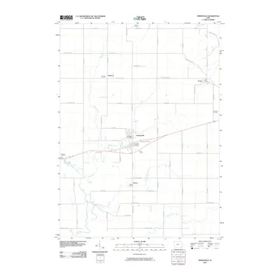
2010 Map of Springville
USGS Topo · Published 2010About this map
Springville stands as a central hub of this Eastern Iowa landscape, where agricultural tradition and local infrastructure converge at the intersection of Springville Rd and Highway 151. The area is marked by a network of small, established settlements such as Whittier, Viola, and Paralta, each serving as a point of reference for the surrounding rural communities. These clusters often grew around essential local services, evidenced by the Viola Post Office and Springville Post Office.
Find a feature on this map
54 named features on this map. Tap any name to fly to it.
Don’t see what you’re looking for? This feature index may not catch every label — zoom into the map to look around manually.
Map Details
Editions of this 2010 Springville Map
This is the sole edition of this map. No revisions or reprints were ever made.
Other maps of this area

1887 · Cedar Rapids
USGS Topo · 1:62,500

1888 · Marion
USGS Topo · 1:62,500

1889 · Marion
USGS Topo · 1:62,500

1890 · Anamosa
USGS Topo · 1:62,500

1891 · Mechanicsville
USGS Topo · 1:62,500

1891 · Cedar Rapids
USGS Topo · 1:62,500

1894 · Mechanicsville
USGS Topo · 1:62,500

1900 · Anamosa
USGS Topo · 1:125,000

1901 · Stanwood
USGS Topo · 1:125,000

1903 · Fairfax
USGS Topo · 1:125,000