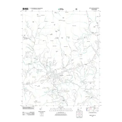
2011 Map of Spruce Pine
USGS Topo · Published 2011About this map
Spruce Pine sits at the heart of this North Carolina mountain landscape, where the North Toe River carves through a region defined by its rich mineral heritage and rail connectivity. The map illustrates an era of established mining operations, from the Gusher Knob Mine in the northeast to the Chestnut Flats Mine and International Mine. These industrial sites are interspersed with numerous family and community burial grounds like McKinney Cemetery and Phillips Cemetery, providing a detailed look at the area's genealogical footprint. The arrival of the Carolina Southern railroad and the presence of the Vance Tunnel near Altapass highlight the engineering required to navigate this terrain. High peaks such as Yellow Mountain and Big Bald loom over the river valley, while smaller settlements like Estatoe and Penland serve as nodes in the local network of mountain roads and mountain branches.
Find a feature on this map
198 named features on this map. Tap any name to fly to it.
Don’t see what you’re looking for? This feature index may not catch every label — zoom into the map to look around manually.
Map Details
Editions of this 2011 Spruce Pine Map
This is the sole edition of this map. No revisions or reprints were ever made.
Other maps of this area

1891 · Roan Mountain
USGS Topo · 1:125,000

1893 · Cranberry
USGS Topo · 1:125,000

1894 · Roan Mountain
USGS Topo · 1:125,000

1895 · Cranberry
USGS Topo · 1:125,000

1899 · Cranberry
USGS Topo · 1:125,000

1900 · Mount Mitchell
USGS Topo · 1:125,000

1902 · Cranberry
USGS Topo · 1:125,000

1902 · Mount Mitchell
USGS Topo · 1:125,000

1904 · Roan Mountain
USGS Topo · 1:125,000

1905 · Morganton
USGS Topo · 1:125,000