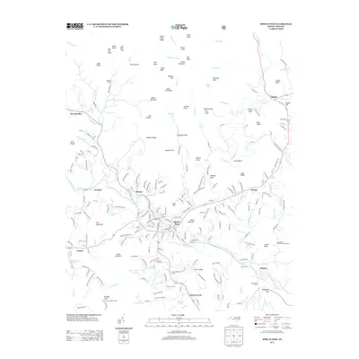
2013 Map of Spruce Pine
USGS Topo · Published 2013About this map
Spruce Pine serves as the focal point of this high-elevation landscape, where the N Toe River carves a deep valley through the Blue Ridge. The area's industrial and geological character is evident in the presence of the Emerald Mine and the significant rail engineering required to navigate the terrain, notably the Rough Ridge Tunnel and Vance Tunnel. These tunnels highlight the historic importance of mountain transit for the region's mineral and timber economies.
Find a feature on this map
234 named features on this map. Tap any name to fly to it.
Don’t see what you’re looking for? This feature index may not catch every label — zoom into the map to look around manually.
Map Details
Editions of this 2013 Spruce Pine Map
This is the sole edition of this map. No revisions or reprints were ever made.
Other maps of this area

1891 · Roan Mountain
USGS Topo · 1:125,000

1893 · Cranberry
USGS Topo · 1:125,000

1894 · Roan Mountain
USGS Topo · 1:125,000

1895 · Cranberry
USGS Topo · 1:125,000

1899 · Cranberry
USGS Topo · 1:125,000

1900 · Mount Mitchell
USGS Topo · 1:125,000

1902 · Cranberry
USGS Topo · 1:125,000

1902 · Mount Mitchell
USGS Topo · 1:125,000

1904 · Roan Mountain
USGS Topo · 1:125,000
1905 · Morganton
USGS Topo · 1:125,000