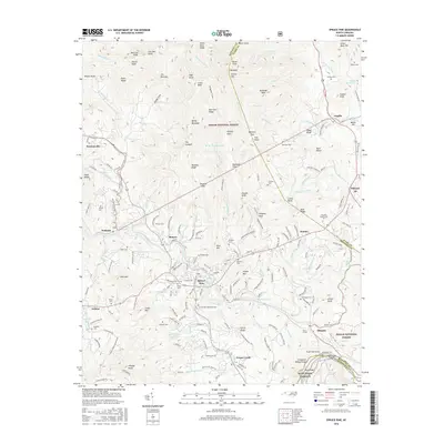
2016 Map of Spruce Pine
USGS Topo · Published 2016About this map
The North Toe River winds through this section of the Blue Ridge, anchoring the industrial and civic life of Spruce Pine. By the mid-2010s, the area reflects a complex landscape of mineral extraction and education, home to the Spruce Pine Mine and Mayland Community Coll. The Clinchfield RR follows the river's bend, serving the mountain communities of Minpro, Altapass, and Penland. High elevation points like Big Bald and Chalk Mtn overlook the valley, while the Pisgah National Forest covers the higher ridges. This survey is particularly useful for genealogists, as it identifies numerous family burial grounds including Silvers Cem, Wiseman Cem, and McHone Cem, alongside larger sites like the Spruce Pine Memorial Cem. The road network, including the iconic Blue Ridge Parkway, connects these disparate settlements across the Mitchell Co and Avery Co border.
Find a feature on this map
208 named features on this map. Tap any name to fly to it.
Don’t see what you’re looking for? This feature index may not catch every label — zoom into the map to look around manually.
Map Details
Editions of this 2016 Spruce Pine Map
This is the sole edition of this map. No revisions or reprints were ever made.
Other maps of this area

1891 · Roan Mountain
USGS Topo · 1:125,000

1893 · Cranberry
USGS Topo · 1:125,000

1894 · Roan Mountain
USGS Topo · 1:125,000

1895 · Cranberry
USGS Topo · 1:125,000

1899 · Cranberry
USGS Topo · 1:125,000

1900 · Mount Mitchell
USGS Topo · 1:125,000

1902 · Cranberry
USGS Topo · 1:125,000

1902 · Mount Mitchell
USGS Topo · 1:125,000

1904 · Roan Mountain
USGS Topo · 1:125,000

1905 · Morganton
USGS Topo · 1:125,000