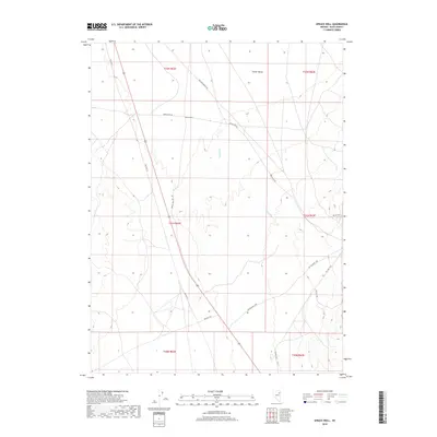
2018 Map of Spruce Well
USGS Topo · Published 2018About this map
Clover Valley defines the northeastern landscape of this Elko County quadrangle, where the high desert terrain of eastern Nevada is mapped in modern detail. The settlement of Spruce Well serves as a central reference point in an area characterized by a network of ranching and access roads. The transit history of the region is evident in the path of Old Hwy 93, which runs alongside contemporary routes like Spruce Well Rd and Spruce Mtn Rd. Water is scarce in this high-elevation environment, with Laurel Run providing a primary drainage feature through the center of the sheet. The map provides a clear look at the Public Land Survey System grid, including township boundaries such as t31n r62e, which are essential for property researchers and genealogists tracing land patents in the Nevada interior.
Find a feature on this map
17 named features on this map. Tap any name to fly to it.
Don’t see what you’re looking for? This feature index may not catch every label — zoom into the map to look around manually.
Map Details
Editions of this 2018 Spruce Well Map
This is the sole edition of this map. No revisions or reprints were ever made.
Other maps of this area
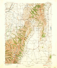
1935 · Halleck
USGS Topo · 1:125,000
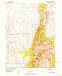
1953 · Spruce Mountain
USGS Topo · 1:62,500

1955 · Elko
USGS Topo · 1:250,000

1958 · Elko
USGS Topo · 1:250,000

1962 · Elko
USGS Topo · 1:250,000

1965 · Elko
USGS Topo · 1:250,000
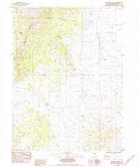
1984 · Arizona Spring
USGS Topo · 1:24,000
1984 · Valley Mtn
USGS Topo · 1:24,000
1984 · Delcer Buttes
USGS Topo · 1:24,000
1984 · Palomino Well
USGS Topo · 1:24,000