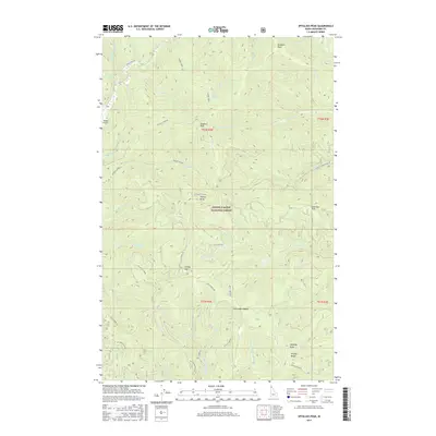
2017 Map of Spyglass Peak
USGS Topo · Published 2017About this map
Magee Airport sits along the western edge of this drainage-heavy landscape within the Coeur d'Alene National Forest. The 2017 survey details a high-elevation network of peaks and ridgelines, including the prominent Spyglass Peak and Grassy Mtn, separated by deep creek beds such as Tepee Cr and Little Elk Creek. This area of Shoshone County is defined by its forestry infrastructure, shown through a complex system of access roads like Spy Glass Peak Rd and Tepee Creek Rd that navigate the steep slopes.
Find a feature on this map
56 named features on this map. Tap any name to fly to it.
Don’t see what you’re looking for? This feature index may not catch every label — zoom into the map to look around manually.
Map Details
Editions of this 2017 Spyglass Peak Map
This is the sole edition of this map. No revisions or reprints were ever made.
Other maps of this area
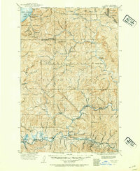
1909 · Cataldo
USGS Topo · 1:125,000
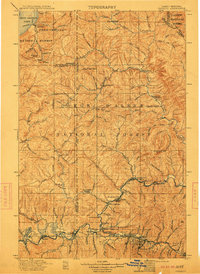
1911 · Cataldo
USGS Topo · 1:125,000
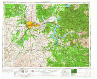
1955 · Spokane
USGS Topo · 1:250,000
1957 · Kingston
USGS Topo · 1:62,500
1957 · Kellogg
USGS Topo · 1:62,500
1958 · Spokane
USGS Topo · 1:250,000
1961 · Lakeview
USGS Topo · 1:62,500
1966 · Jordan Creek
USGS Topo · 1:24,000
1966 · Cathedral Peak
USGS Topo · 1:24,000
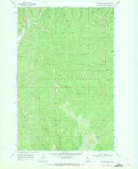
1966 · Spyglass Peak
USGS Topo · 1:24,000