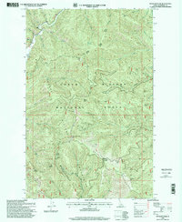
1996 Map of Spyglass Peak
USGS Topo · Published 1999About this map
Coeur d'Alene National Forest dominates this Idaho landscape, where the administrative reach of the Fernan Wallace Ranger District meets a network of vital mountain drainages. The small settlement of Magee serves as a lone hub of activity in the northwest, supported by the Magee Landing Strip. This region is defined by its industrial mineral exploration, evidenced by scattered Prospects and a named Prospect near the headwaters of Miners Creek. High-elevation observation points like Spyglass Peak Lookout and Packsack Point anchor the topography. The map illustrates a complex hydraulic system where Tepee Creek and Independence Creek carve through the Grizzly Mountain Ridge, revealing the mid-1990s management of these timber and mineral-rich highlands.
Find a feature on this map
35 named features on this map. Tap any name to fly to it.
Don’t see what you’re looking for? This feature index may not catch every label — zoom into the map to look around manually.
Map Details
Editions of this 1996 Spyglass Peak Map
This is the sole edition of this map. No revisions or reprints were ever made.
Other maps of this area

1909 · Cataldo
USGS Topo · 1:125,000

1911 · Cataldo
USGS Topo · 1:125,000

1955 · Spokane
USGS Topo · 1:250,000

1957 · Kingston
USGS Topo · 1:62,500

1957 · Kellogg
USGS Topo · 1:62,500

1958 · Spokane
USGS Topo · 1:250,000

1961 · Lakeview
USGS Topo · 1:62,500
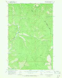
1966 · Jordan Creek
USGS Topo · 1:24,000
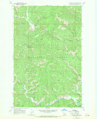
1966 · Cathedral Peak
USGS Topo · 1:24,000
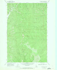
1966 · Spyglass Peak
USGS Topo · 1:24,000