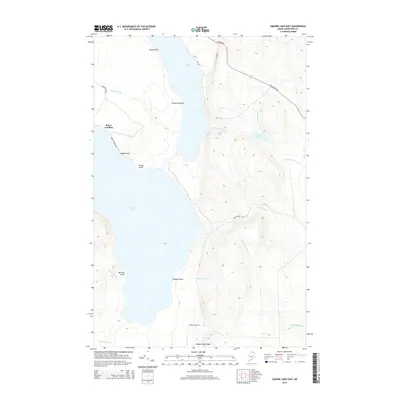
2014 Map of Square Lake East
USGS Topo · Published 2014About this map
Square Lake and Cross Lake dominate this northern Maine landscape, connected by a narrow waterway that defines the local geography. The shoreline is punctuated by numerous named landmarks such as Swede Point, Salmon Point, and Cranberry Point, reflecting a history of local navigation and land use. At Burnt Landing, a small settlement cluster sits at the end of Burnt Landing Rd, providing access to the water's edge. The surrounding terrain rises toward Square Lake Ridge, with a network of brooks like McClusky Brook and Minnow Brook draining the higher elevations. These topographic details illustrate the remote character of Aroostook County, where the economy and travel were dictated by the water and the timberlands long before the modern era.
Find a feature on this map
26 named features on this map. Tap any name to fly to it.
Don’t see what you’re looking for? This feature index may not catch every label — zoom into the map to look around manually.
Map Details
Editions of this 2014 Square Lake East Map
This is the sole edition of this map. No revisions or reprints were ever made.
Other maps of this area

1927 · Stockholm
USGS Topo · 1:48,000

1927 · Square Lake
USGS Topo · 1:48,000

1929 · Portage
USGS Topo · 1:62,500

1929 · Caribou
USGS Topo · 1:48,000

1931 · Square Lake
USGS Topo · 1:62,500

1931 · Portage
USGS Topo · 1:62,500

1931 · Stockholm
USGS Topo · 1:62,500

1932 · Caribou
USGS Topo · 1:62,500

1953 · Stockholm
USGS Topo · 1:62,500

1953 · Square Lake
USGS Topo · 1:62,500