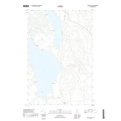
2018 Map of Square Lake East
USGS Topo · Published 2018About this map
Square Lake and Cross Lake dominate this northern Maine landscape, connected by a series of narrow thoroughfares and brooks within the Fish River chain. The terrain is characterized by the prominent Square Lake Ridge to the south and a network of wetlands and feeder streams, including Black Brook and Minnow Brook. A handful of local roads, such as Square Lake Rd and St Peter Rd, provide limited access to the water's edge, highlighting the area's primary role as a seasonal timber and recreation landscape. Smaller water bodies like Carry Pond and sheltered inlets such as Goddard Cove further define the intricate shoreline. The naming of landmarks like Swede Point, Dinah Point, and Cranberry Point reflects the local history of land use and navigation in this interior Aroostook County wilderness.
Find a feature on this map
24 named features on this map. Tap any name to fly to it.
Don’t see what you’re looking for? This feature index may not catch every label — zoom into the map to look around manually.
Map Details
Editions of this 2018 Square Lake East Map
This is the sole edition of this map. No revisions or reprints were ever made.
Other maps of this area

1927 · Stockholm
USGS Topo · 1:48,000

1927 · Square Lake
USGS Topo · 1:48,000

1929 · Portage
USGS Topo · 1:62,500

1929 · Caribou
USGS Topo · 1:48,000

1931 · Square Lake
USGS Topo · 1:62,500

1931 · Portage
USGS Topo · 1:62,500

1931 · Stockholm
USGS Topo · 1:62,500

1932 · Caribou
USGS Topo · 1:62,500

1953 · Stockholm
USGS Topo · 1:62,500

1953 · Square Lake
USGS Topo · 1:62,500