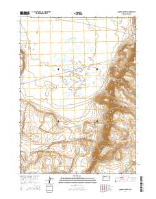
2014 Map of Square Mountain
USGS Topo · Published 2014About this map
Catlow Valley dominates this high-desert landscape in southeastern Oregon, where water management is the primary signature of human activity. The map reveals a network of essential resources for ranching and wildlife, including the Stockwater Ditch, Pueblo Reservoir, and several vital springs like Lee Morris Spring and Catlow Spring. The elevation changes are dramatic, rising from the valley floor to the prominent Square Mountain and the sweeping Catlow Rim. Historical land use is further evidenced by named landmarks such as McDade Cache and Raz Lewis Flat, suggesting a history of early homesteading and resource storage in a demanding environment. To the south, the Basque Hills nod to the region's cultural heritage of sheep ranching, while Slickey Lake serves as a stark visual marker of the basin's intermittent hydrology.
Find a feature on this map
25 named features on this map. Tap any name to fly to it.
Don’t see what you’re looking for? This feature index may not catch every label — zoom into the map to look around manually.
Map Details
Editions of this 2014 Square Mountain Map
This is the sole edition of this map. No revisions or reprints were ever made.
Other maps of this area

1955 · Adel
USGS Topo · 1:250,000

1957 · Adel
USGS Topo · 1:250,000

1958 · Adel
USGS Topo · 1:250,000

1962 · Adel
USGS Topo · 1:250,000
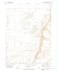
1971 · Square Mountain
USGS Topo · 1:24,000
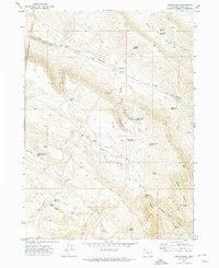
1971 · Fields Basin
USGS Topo · 1:24,000
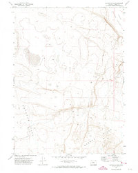
1971 · Coyote Gap SE
USGS Topo · 1:24,000
1971 · Garrison Lake
USGS Topo · 1:24,000
1971 · Coyote Gap
USGS Topo · 1:24,000
1971 · Acty Mountain NE
USGS Topo · 1:24,000