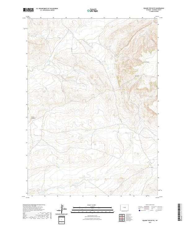
2021 Map of Square Top Butte
USGS Topo · Published 2021About this map
Square Top Butte rises above the drainage systems of Natrona County, where the high desert landscape is defined by the winding paths of Middle Fork Casper Cr and S Fork Casper Cr. This 2021 topographic record reveals a sparsely populated terrain primarily shaped by its drainage basins and isolated geological landmarks. To the east, Pine Mtn and the carved descent of Smith Canyon dominate the topography, while Coyote Cr cuts through the western sections. The presence of Oil Camp Rd suggests the historical and ongoing industrial footprint of resource extraction in this part of Wyoming, linked to the wider regional infrastructure by Co Rd 210. The map serves as a precise guide to the public land survey system divisions, including portions of t35n r85w and t34n r84w.
Find a feature on this map
12 named features on this map. Tap any name to fly to it.
Don’t see what you’re looking for? This feature index may not catch every label — zoom into the map to look around manually.
Map Details
Editions of this 2021 Square Top Butte Map
This is the sole edition of this map. No revisions or reprints were ever made.
Other maps of this area

1951 · Pine Mountain SW
USGS Topo · 1:24,000

1951 · Poison Spider
USGS Topo · 1:24,000

1951 · Square Top Butte
USGS Topo · 1:24,000

1951 · Reid Canyon
USGS Topo · 1:24,000

1955 · Arminto
USGS Topo · 1:250,000

1955 · Casper
USGS Topo · 1:250,000

1958 · Casper
USGS Topo · 1:250,000

1958 · Arminto
USGS Topo · 1:250,000

1959 · Gaylord Reservoir
USGS Topo · 1:24,000

1959 · Eightmile Draw
USGS Topo · 1:24,000