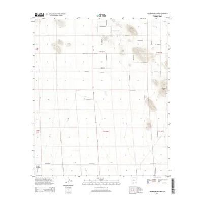
2014 Map of Squaretop Hills West
USGS Topo · Published 2014About this map
Sunizona and Grizzles Orchard anchor this high-desert landscape in Cochise County, where the terrain is defined by the prominent Squaretop Hills and the rising elevations of Ash Creek Ridge. The map reveals a highly structured grid of residential and ranch roads, suggesting a planned rural settlement pattern characteristic of late 20th-century Arizona developments. Transportation routes like Brewery Gulch Rd, Pueblo Bonito Ave, and W Diamond Bar crisscross the valley floor, connecting outlying properties to the ephemeral drainage of Ash Cr. This layout reflects a transition from traditional large-scale ranching to a landscape of subdivided land parcels and rural homesteads, while landmarks like S Brand Ranch Rd and E Grassy Hills Rd point to the area's agricultural and pastoral heritage.
Find a feature on this map
50 named features on this map. Tap any name to fly to it.
Don’t see what you’re looking for? This feature index may not catch every label — zoom into the map to look around manually.
Map Details
Editions of this 2014 Squaretop Hills West Map
This is the sole edition of this map. No revisions or reprints were ever made.
Other maps of this area
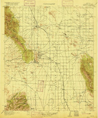
1916 · Pearce
USGS Topo · 1:125,000
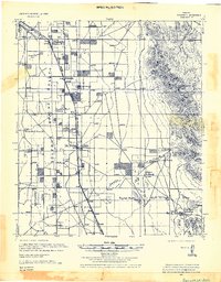
1922 · Swisshelm
USGS Topo · 1:62,500
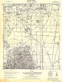
1925 · Gleeson
USGS Topo · 1:62,500
1926 · Light
USGS Topo · 1:62,500
1926 · Courtland
USGS Topo · 1:62,500
1955 · Douglas
USGS Topo · 1:250,000
1958 · Squaretop Hills
USGS Topo · 1:62,500
1958 · Swisshelm Mtn
USGS Topo · 1:62,500
1958 · Pearce
USGS Topo · 1:62,500
1958 · Gleeson
USGS Topo · 1:62,500