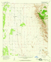
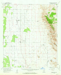
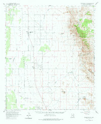
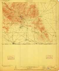
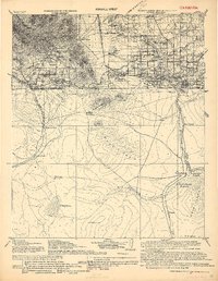
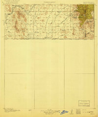
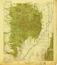
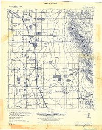
1958 Map of Swisshelm Mtn
USGS Topo · Published 1959About this map
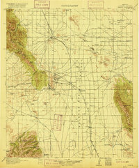
Sulphur Spring Valley dominates this high-desert landscape in Cochise County, showing a mid-century transition from traditional ranching to industrial infrastructure. The settlement of Elfrida serves as a local hub, anchored by the Valley Union High School, while to the south, McNeal is marked by a prominent Generating Plant and a designated Landing Field. The map illustrates the region's ranching heritage through landmarks like Four Bars Ranch, positioned along the intermittent course of Whitewater Draw.
Find a feature on this map
27 named features on this map. Tap any name to fly to it.
Don’t see what you’re looking for? This feature index may not catch every label — zoom into the map to look around manually.
Map Details
Editions of this 1958 Swisshelm Mtn Map
3 editions found
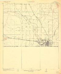
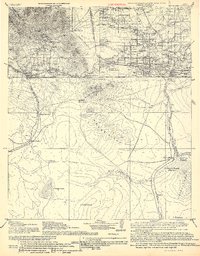
Other maps of this area
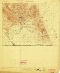
1902 · Bisbee
USGS Topo · 1:62,500
1910 · Bisbee
USGS Topo · 1:62,500
1914 · Douglas
USGS Topo · 1:62,500
1916 · Pearce
USGS Topo · 1:125,000
1916 · Douglas
USGS Topo · 1:125,000

1917 · Chiricahua
USGS Topo · 1:125,000
1919 · Douglas
USGS Topo · 1:125,000
1919 · Perilla
USGS Topo · 1:125,000
1919 · Chiricahua
USGS Topo · 1:125,000
1922 · Swisshelm
USGS Topo · 1:62,500