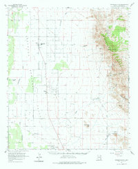
1958 Map of Swisshelm Mtn
USGS Topo · Published 1981About this map
Sulphur Springs Valley defines the western expanse of this high-desert landscape, where the agricultural and utility infrastructure of the late 1950s is on clear display. The community of Elfrida serves as a local hub, anchored by the Valley Union High School, while to the south, McNeal is marked by the industrial presence of the McNeal Generating Plant. This area shows a transition from the flat valley floor to the rising Swisshelm Mountains in the east, where terrain becomes steeper and more complex.
Find a feature on this map
26 named features on this map. Tap any name to fly to it.
Don’t see what you’re looking for? This feature index may not catch every label — zoom into the map to look around manually.
Map Details
Editions of this 1958 Swisshelm Mtn Map
3 editions found

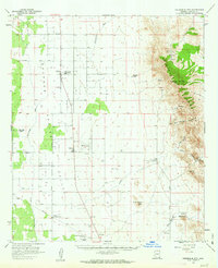
Other maps of this area

1902 · Bisbee
USGS Topo · 1:62,500

1910 · Bisbee
USGS Topo · 1:62,500

1914 · Douglas
USGS Topo · 1:62,500

1916 · Pearce
USGS Topo · 1:125,000

1916 · Douglas
USGS Topo · 1:125,000

1917 · Chiricahua
USGS Topo · 1:125,000

1919 · Douglas
USGS Topo · 1:125,000

1919 · Perilla
USGS Topo · 1:125,000

1919 · Chiricahua
USGS Topo · 1:125,000

1922 · Swisshelm
USGS Topo · 1:62,500