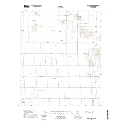
2018 Map of Squaretop Hills West
USGS Topo · Published 2018About this map
Sulphur Springs Valley dominates this high-desert landscape in Cochise County, where the topography transitions from the valley floor toward the distinct Squaretop Hills in the east. The settlement of Grizzles Orchard is situated in the southwestern corner, suggesting a pocket of agricultural activity amidst the more arid terrain. This area reflects a long-standing ranching tradition, evidenced by the network of named roads such as E Duke Ranch Rd and S Brand Ranch Rd that crisscross the sections. In the north, Ash Creek Ridge and the ephemeral Ash Cr provide relief to the landscape. The survey also captures a modern overlay of residential development through named streets like Pueblo Bonito Ave and E Grassy Valley Rd, illustrating the gradual shift from traditional ranching lands to more localized rural housing plots.
Find a feature on this map
55 named features on this map. Tap any name to fly to it.
Don’t see what you’re looking for? This feature index may not catch every label — zoom into the map to look around manually.
Map Details
Editions of this 2018 Squaretop Hills West Map
This is the sole edition of this map. No revisions or reprints were ever made.
Other maps of this area
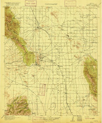
1916 · Pearce
USGS Topo · 1:125,000
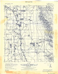
1922 · Swisshelm
USGS Topo · 1:62,500
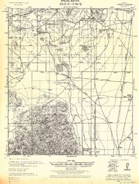
1925 · Gleeson
USGS Topo · 1:62,500
1926 · Light
USGS Topo · 1:62,500
1926 · Courtland
USGS Topo · 1:62,500
1955 · Douglas
USGS Topo · 1:250,000
1958 · Squaretop Hills
USGS Topo · 1:62,500
1958 · Swisshelm Mtn
USGS Topo · 1:62,500
1958 · Pearce
USGS Topo · 1:62,500
1958 · Gleeson
USGS Topo · 1:62,500