
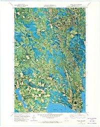
1971 Map of Squaw Lake
USGS Topo · Published 1973About this map
The Chippewa National Forest dominates this landscape in northern Itasca County, where water and timber define the local geography. The settlement of Squaw Lake sits at the southeastern corner of the map, serving as a gateway to the surrounding wilderness and the Leech Lake Indian Reservation. The map details a complex hydrological network where the Popple River and Wagner Creek wind through forested terrain toward large bodies of water like Round Lake and the eponymous Squaw Lake.
Find a feature on this map
17 named features on this map. Tap any name to fly to it.
Don’t see what you’re looking for? This feature index may not catch every label — zoom into the map to look around manually.
Map Details
Editions of this 1971 Squaw Lake Map
2 editions found
Other maps of this area

1919 · Rosy
USGS Topo · 1:62,500

1919 · Gemmell
USGS Topo · 1:62,500

1919 · Max
USGS Topo · 1:62,500

1919 · Bridgie
USGS Topo · 1:62,500

1924 · Bridgie
USGS Topo · 1:62,500

1954 · Bemidji
USGS Topo · 1:250,000

1957 · Bemidji
USGS Topo · 1:250,000

1958 · Bemidji
USGS Topo · 1:250,000

1971 · Dixon Lake
USGS Topo · 1:24,000
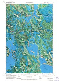
1971 · Dora Lake
USGS Topo · 1:24,000