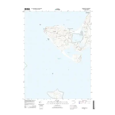
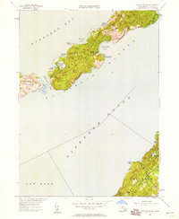
2015 Map of Squibnocket
USGS Topo · Published 2015About this map
The Gay Head Cliffs and the township of Aquinnah anchor this coastal survey of Martha's Vineyard's westernmost tip. The landscape is defined by its series of significant saltwater and freshwater bodies, including the expansive Menemsha Pond, Squibnocket Pond, and the smaller Occooch Pond. Road networks such as Moshup Trl and Lighthouse Rd provide the primary arteries through the varied terrain, which transitions from high coastal bluffs to low-lying marshes and sandy shores.
Find a feature on this map
51 named features on this map. Tap any name to fly to it.
Don’t see what you’re looking for? This feature index may not catch every label — zoom into the map to look around manually.
Map Details
Editions of this 2015 Squibnocket Map
This is the sole edition of this map. No revisions or reprints were ever made.
Other maps of this area

1887 · Gay Head
USGS Topo · 1:62,500

1889 · Gay Head
USGS Topo · 1:62,500

1893 · Gay Head
USGS Topo · 1:62,500

1942 · Marthas Vineyard
USGS Topo · 1:125,000
1944 · Naushon Island
USGS Topo · 1:31,680
1944 · Squibnocket
USGS Topo · 1:31,680
1944 · Cuttyhunk
USGS Topo · 1:31,680

1947 · Providence
USGS Topo · 1:250,000

1948 · Providence
USGS Topo · 1:250,000
1949 · Naushon Island
USGS Topo · 1:24,000