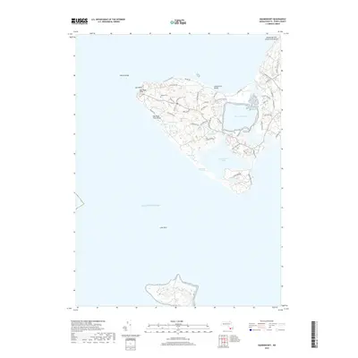
2018 Map of Squibnocket
USGS Topo · Published 2018About this map
Gay Head Cliffs and the western reaches of Martha's Vineyard define this coastal landscape, where the island's unique geology meets the Atlantic Ocean. The settlement pattern is characterized by winding local roads like Moshup Trl and Old South Rd, serving a community centered near Gayhead Cem and the prominent headland. Large coastal water bodies, including Menemsha Pond and Squibnocket Pond, are separated from the sea by narrow strips of land and the extensive Squibnocket Marshes. This environment is shaped by both its natural features, such as Devils Bridge and Lone Rock, and preserved public spaces like Lobsterville Beach and the Menemsha Hills Reservation Beach. The interior is dotted with smaller water features like Occooch Pond and Cooks Springs, reflecting the complex drainage of the island's terminal moraine topography.
Find a feature on this map
52 named features on this map. Tap any name to fly to it.
Don’t see what you’re looking for? This feature index may not catch every label — zoom into the map to look around manually.
Map Details
Editions of this 2018 Squibnocket Map
This is the sole edition of this map. No revisions or reprints were ever made.
Other maps of this area
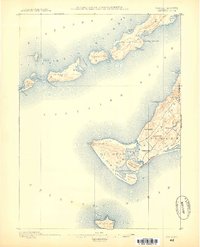
1887 · Gay Head
USGS Topo · 1:62,500
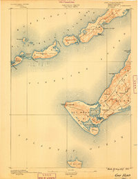
1889 · Gay Head
USGS Topo · 1:62,500
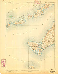
1893 · Gay Head
USGS Topo · 1:62,500
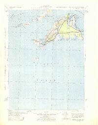
1942 · Marthas Vineyard
USGS Topo · 1:125,000
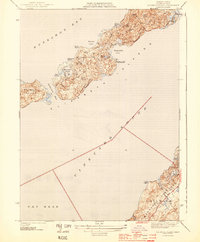
1944 · Naushon Island
USGS Topo · 1:31,680
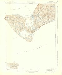
1944 · Squibnocket
USGS Topo · 1:31,680
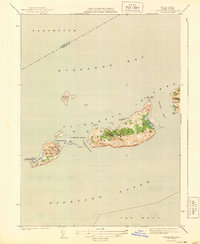
1944 · Cuttyhunk
USGS Topo · 1:31,680
1947 · Providence
USGS Topo · 1:250,000
1948 · Providence
USGS Topo · 1:250,000
1949 · Naushon Island
USGS Topo · 1:24,000