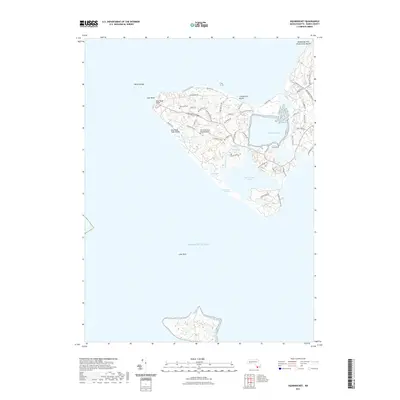
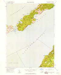
2021 Map of Squibnocket
USGS Topo · Published 2021About this map
Gay Head Cliffs and the surrounding coastal landscape of Martha's Vineyard define this maritime survey. The terrain is characterized by a complex network of glacial ponds, including Menemsha Pond, Squibnocket Pond, and Occooch Pond, separated from the Atlantic Ocean by narrow beaches and marshes. Cultural heritage is anchored by the Gay Head Indian Burying Ground and Gay Head Cem, while the modern recreational character of the area is represented by Lobsterville Beach and Menemsha Hills Reservation Beach. A dense web of local roads, such as Lobsterville Rd and Squibnocket Rd, provides access to the various coves and coastal hills, including Prospect Hill. Navigational landmarks like Devils Bridge and Lone Rock highlight the hazards of the shoreline that have shaped the local maritime economy for generations.
Find a feature on this map
55 named features on this map. Tap any name to fly to it.
Don’t see what you’re looking for? This feature index may not catch every label — zoom into the map to look around manually.
Map Details
Editions of this 2021 Squibnocket Map
This is the sole edition of this map. No revisions or reprints were ever made.
Other maps of this area

1887 · Gay Head
USGS Topo · 1:62,500

1889 · Gay Head
USGS Topo · 1:62,500

1893 · Gay Head
USGS Topo · 1:62,500

1942 · Marthas Vineyard
USGS Topo · 1:125,000
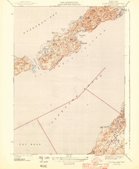
1944 · Naushon Island
USGS Topo · 1:31,680
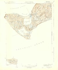
1944 · Squibnocket
USGS Topo · 1:31,680
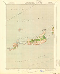
1944 · Cuttyhunk
USGS Topo · 1:31,680

1947 · Providence
USGS Topo · 1:250,000

1948 · Providence
USGS Topo · 1:250,000
1949 · Naushon Island
USGS Topo · 1:24,000