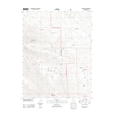
2013 Map of Squirrel Creek
USGS Topo · Published 2013About this map
Gunnison National Forest land defines this portion of the high country, where the landscape is marked by an intricate network of irrigation ditches and managed water resources. Water management is a primary feature of the area, as evidenced by the presence of the Castleton Ditch, Ellebrecht Ditch Number 1, and Cunningham Reservoir. These systems underscore the historical and continuing importance of water rights and distribution in this high-altitude environment north of Gunnison.
Find a feature on this map
51 named features on this map. Tap any name to fly to it.
Don’t see what you’re looking for? This feature index may not catch every label — zoom into the map to look around manually.
Map Details
Editions of this 2013 Squirrel Creek Map
This is the sole edition of this map. No revisions or reprints were ever made.
Other maps of this area
1888 · Crested Butte
USGS Topo · 1:62,500
1888 · Anthracite
USGS Topo · 1:62,500
1889 · Crested Butte
USGS Topo · 1:62,500
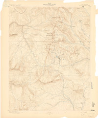
1889 · Anthracite
USGS Topo · 1:62,500
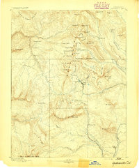
1893 · Anthracite
USGS Topo · 1:62,500
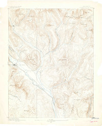
1893 · Crested Butte
USGS Topo · 1:62,500
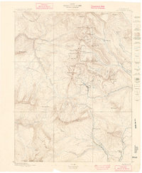
1894 · Anthracite
USGS Topo · 1:62,500
1954 · Mc Intosh Mountain
USGS Topo · 1:24,000
1954 · West Elk Peak SW
USGS Topo · 1:24,000
1954 · Gunnison
USGS Topo · 1:24,000