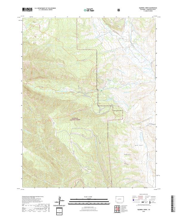
2022 Map of Squirrel Creek
USGS Topo · Published 2022About this map
Gunnison National Forest dominates the high-altitude landscape of this Colorado survey, where a sophisticated network of historical water infrastructure defines the terrain. The presence of numerous irrigation features like the Highline Ditch, Castlelon Ditch, and Campbell Ditch reflects the long-standing efforts to manage water for local ranching and agriculture in the high country. Deep gulches, including Cunningham Gulch and April Gulch, cut through the wilderness, providing natural drainage and historical passage points for early travelers.
Find a feature on this map
46 named features on this map. Tap any name to fly to it.
Don’t see what you’re looking for? This feature index may not catch every label — zoom into the map to look around manually.
Map Details
Editions of this 2022 Squirrel Creek Map
This is the sole edition of this map. No revisions or reprints were ever made.
Other maps of this area

1888 · Crested Butte
USGS Topo · 1:62,500

1888 · Anthracite
USGS Topo · 1:62,500

1889 · Crested Butte
USGS Topo · 1:62,500

1889 · Anthracite
USGS Topo · 1:62,500

1893 · Anthracite
USGS Topo · 1:62,500

1893 · Crested Butte
USGS Topo · 1:62,500

1894 · Anthracite
USGS Topo · 1:62,500

1954 · Mc Intosh Mountain
USGS Topo · 1:24,000

1954 · West Elk Peak SW
USGS Topo · 1:24,000

1954 · Gunnison
USGS Topo · 1:24,000