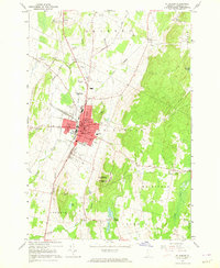
1964 Map of St. Albans
USGS Topo · Published 1965About this map
The city of St Albans serves as a regional hub for Franklin County, characterized by its dense street grid and concentration of civic institutions like the Court House, City Hall, and Bellows Free Academy. The town's industrial and transit identity is anchored by the Central Vermont railroad lines that bisect the area, supporting the local economy just before the major expansion of suburban developments. Beyond the urban center, the landscape transitions into the rolling hills of Aldis Hill and Bellevue Hill, the latter hosting a U S Military Reservation. A network of rural cemeteries, including Mt Calvary Cem and Greenwood Cem, along with local schools like the Fairfield St Sch, provide significant data points for genealogists tracking family footprints across the townships of Georgia, Fairfield, and Fairfax during the mid-1960s.
Find a feature on this map
59 named features on this map. Tap any name to fly to it.
Don’t see what you’re looking for? This feature index may not catch every label — zoom into the map to look around manually.
Map Details
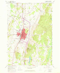
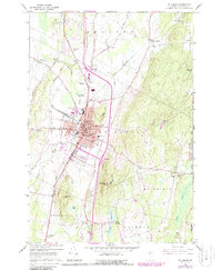
Editions of this 1964 St. Albans Map
3 editions found
Other maps of this area

1913 · Milton
USGS Topo · 1:48,000

1914 · St. Albans
USGS Topo · 1:48,000

1915 · Milton
USGS Topo · 1:62,500

1916 · St. Albans
USGS Topo · 1:62,500

1920 · Franklin Pond
USGS Topo · 1:62,500

1922 · Enosburg Falls
USGS Topo · 1:48,000

1924 · Enosburg Falls
USGS Topo · 1:62,500

1925 · Mount Mansfield
USGS Topo · 1:48,000

1927 · Mount Mansfield
USGS Topo · 1:62,500

1943 · St. Albans
USGS Topo · 1:62,500