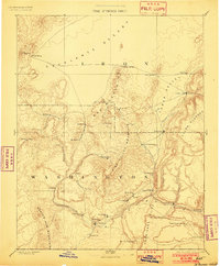
1891 Map of St. George
USGS Topo · Published 1902About this map
St. George and the surrounding Virgin River basin appear in this late nineteenth-century reconnaissance, conducted when the settlement patterns of southwestern Utah were firmly established but the landscape remained largely agricultural and extractive. The map illustrates the strategic placement of towns like Santa Clara and Washington along vital water sources such as the Santa Clara Creek and the Virgin River. Notable for its historical significance is the inclusion of Mountain Meadows and the mining-driven growth of Silver Reef and Iron City, reflecting the period's focus on mineral discovery.
Find a feature on this map
53 named features on this map. Tap any name to fly to it.
Don’t see what you’re looking for? This feature index may not catch every label — zoom into the map to look around manually.
Map Details
Editions of this 1891 St. George Map
4 editions found
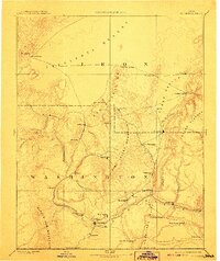
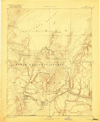
Other maps of this area

1885 · St. George
USGS Topo · 1:250,000

1885 · Beaver
USGS Topo · 1:250,000

1885 · Pioche
USGS Topo · 1:250,000

1886 · Kanab
USGS Topo · 1:250,000

1886 · Saint Thomas
USGS Topo · 1:250,000

1886 · Mt. Trumbull
USGS Topo · 1:250,000

1886 · Pioche
USGS Topo · 1:250,000

1886 · Kaibab
USGS Topo · 1:250,000

1891 · St. George
USGS Topo · 1:250,000

1892 · Mt. Trumbull
USGS Topo · 1:250,000