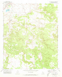
1971 Map of St. Johns South
USGS Topo · Published 1973About this map
The Little Colorado River winds through this high-desert landscape in the early 1970s, serving as a primary water source for the southern outskirts of St Johns. This territory reflects a period of infrastructure development and resource extraction, characterized by the Diversion Dam and the Little Reservoir near the northern border. The terrain is marked by several utilitarian features like Borrow Pits and a Gravel Pit, pointing to local construction or road maintenance needs of the era. To the south, the map details more remote landmarks such as Henry Platt Springs and a Water Tank Well, which illustrate the reliance on scattered water points in the arid Apache County interior. The transition between the township and the open range is clearly delineated by section lines and elevation contours, making it a valuable resource for tracing property boundaries and land use in this part of Arizona.
Find a feature on this map
12 named features on this map. Tap any name to fly to it.
Don’t see what you’re looking for? This feature index may not catch every label — zoom into the map to look around manually.
Map Details
Editions of this 1971 St. Johns South Map
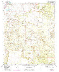
2 editions found
Other maps of this area

1886 · St Johns
USGS Topo · 1:250,000

1892 · St Johns
USGS Topo · 1:250,000

1954 · Saint Johns
USGS Topo · 1:250,000

1955 · Wolford Springs 3 SW
USGS Topo · 1:24,000

1957 · Saint Johns
USGS Topo · 1:250,000

1958 · Saint Johns
USGS Topo · 1:250,000

1962 · Saint Johns
USGS Topo · 1:250,000

1971 · Mesa Parada NW
USGS Topo · 1:24,000
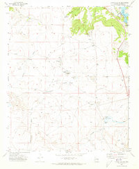
1971 · Lyman Lake SW
USGS Topo · 1:24,000
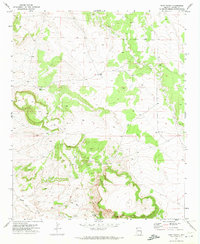
1971 · Voigt Ranch
USGS Topo · 1:24,000