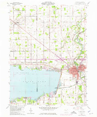
1960 Map of St. Marys
USGS Topo · Published 1975About this map
The waters of Grand Lake dominate this landscape, meeting the shoreline at Villa Nova and the western edge of St Marys. At this time in the 1960s, the area reflects a transition between its industrial canal-era roots and mid-century modern developments. The Miami and Erie Canal is marked as abandoned, tracing a path through the south side of town near the Fish Hatchery, while the Norfolk and Western railway provides the contemporary transport backbone.
Find a feature on this map
82 named features on this map. Tap any name to fly to it.
Don’t see what you’re looking for? This feature index may not catch every label — zoom into the map to look around manually.
Map Details
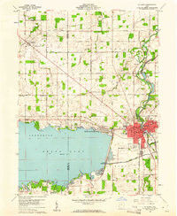
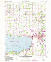
Editions of this 1960 St. Marys Map
3 editions found
Other maps of this area

1908 · St. Henry
USGS Topo · 1:62,500

1909 · Loramie
USGS Topo · 1:62,500

1911 · Loramie
USGS Topo · 1:62,500

1911 · Spencerville
USGS Topo · 1:62,500

1914 · Celina
USGS Topo · 1:62,500

1944 · Loramie
USGS Topo · 1:62,500

1944 · Celina
USGS Topo · 1:62,500

1944 · Spencerville
USGS Topo · 1:62,500

1953 · Muncie
USGS Topo · 1:250,000

1956 · Muncie
USGS Topo · 1:250,000