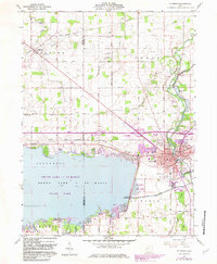
1960 Map of St. Marys
USGS Topo · Published 1983About this map
St Marys serves as the focal point of this survey, where the St Marys River meets the industrial and recreational footprint of West Central Ohio. The landscape is defined by the massive reach of Grand Lake - St Marys, bordered by the Grand Lake St Marys State Park and the specialized St Marys Fish Farm. A notable historical layer is preserved in the Miami and Erie Canal (Abandoned), which traces a path south of town, reflecting an earlier era of waterborne commerce.
Find a feature on this map
44 named features on this map. Tap any name to fly to it.
Don’t see what you’re looking for? This feature index may not catch every label — zoom into the map to look around manually.
Map Details
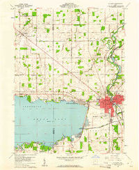
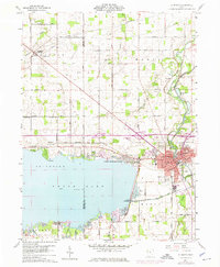
Editions of this 1960 St. Marys Map
3 editions found
Other maps of this area

1908 · St. Henry
USGS Topo · 1:62,500

1909 · Loramie
USGS Topo · 1:62,500

1911 · Loramie
USGS Topo · 1:62,500

1911 · Spencerville
USGS Topo · 1:62,500

1914 · Celina
USGS Topo · 1:62,500

1944 · Loramie
USGS Topo · 1:62,500

1944 · Celina
USGS Topo · 1:62,500

1944 · Spencerville
USGS Topo · 1:62,500

1953 · Muncie
USGS Topo · 1:250,000

1956 · Muncie
USGS Topo · 1:250,000