
Historical Maps of Mercer County, Ohio
What stories do these 60 old maps tell about Mercer County's past? From 1908 to present day, these maps reveal the evolution of streets, neighborhoods, iconic landmarks, and natural features in stunning high-res detail. Whether you're a history enthusiast, genealogist, or professional in education, environmental work, or architecture, these maps are perfect for exploration, research, and discovery.
Discover Mercer County's history through maps:
- Trace Mercer County's growth: Explore earlier and latest maps and editions to uncover how the region changed over time.
- Examine technical details: Each map includes its creators, publishers, scale, dimensions, and full source information.
- Layer maps with modern tools & imagery: Compare historical maps to modern-day with high-resolution satellite imagery and detailed LiDAR layers.
- Sourced from trusted archives: Carefully preserved and digitized by institutions like the United Stated Geological Survey and the US Library of Congress.
- Access in any format: View and explore in high resolution, download for offline use, or order a museum-quality print for yourself or a loved one.
Begin your journey into Mercer County's history with these remarkable must-see maps.
Mercer County, OH maps
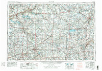
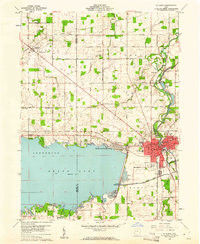
(60)- 1908 Map of St. Henry, 1944 Print
 1908 St. Henry1944 Print · USGSCovers Mercer County, including Coldwater, St. Henry, and other nearby areas
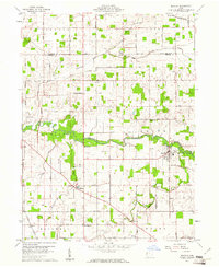
 - 1909 Map of Loramie, 1961 Print
 1909 Loramie1961 Print · USGSCovers Mercer County, including New Bremen, Minster, and other nearby areas
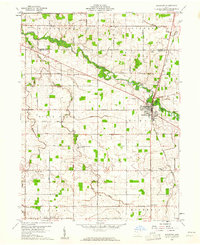
 - 1911 Map of Loramie, 1936 Print
 1911 Loramie1936 Print · USGSCovers Mercer County, including New Bremen, Minster, and other nearby areas
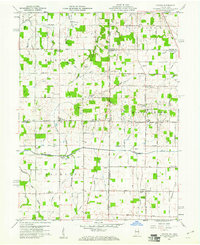
 - 1911 Map of Spencerville, 1942 Print
 1911 Spencerville1942 Print · USGSCovers Mercer County, including Saint Marys, Spencerville, and other nearby areas
 - 1914 Map of Celina, 1942 Print
 1914 Celina1942 Print · USGSCovers Mercer County, including Celina, Rockford, and other nearby areas
 - 1915 Map of Fort Recovery
 1915 Fort Recovery1915 Print · USGSCovers Mercer County, including Portland, Fort Recovery, and other nearby areas
 - 1915 Map of Fort Recovery, 1957 Print
 1915 Fort Recovery1957 Print · USGSCovers Mercer County, including Portland, Fort Recovery, and other nearby areas
 - 1918 Map of Fort Recovery, 1922 Print
 1918 Fort Recovery1922 Print · USGSCovers Mercer County, including Portland, Fort Recovery, and other nearby areas
 - 1944 Map of Loramie
 1944 Loramie1944 Print · USGSCovers Mercer County, including New Bremen, Minster, and other nearby areas
 - 1944 Map of Celina
 1944 Celina1944 Print · USGSCovers Mercer County, including Celina, Rockford, and other nearby areas
 - 1944 Map of Spencerville
 1944 Spencerville1944 Print · USGSCovers Mercer County, including Saint Marys, Spencerville, and other nearby areas
 - 1953 Map of Muncie, 1966 Print
 1953 Muncie1966 Print · USGSCovers Mercer County, including Fort Wayne, Fishers, and other nearby areas
 - 1953 Map of Muncie, 1976 Print
 1953 Muncie1976 Print · USGSCovers Mercer County, including Fort Wayne, Fishers, and other nearby areas
 - 1953 Map of Muncie, 1979 Print
 1953 Muncie1979 Print · USGSCovers Mercer County, including Fort Wayne, Fishers, and other nearby areas
 - 1953 Map of Muncie, 1979 Print
 1953 Muncie1979 Print · USGSCovers Mercer County, including Fort Wayne, Fishers, and other nearby areas
 - 1953 Map of Muncie, 1979 Print
 1953 Muncie1979 Print · USGSCovers Mercer County, including Fort Wayne, Fishers, and other nearby areas
 - 1956 Map of Muncie
 1956 Muncie1956 Print · USGSCovers Mercer County, including Fort Wayne, Fishers, and other nearby areas
 - 1960 Map of Fort Recovery, 1961 Print
 1960 Fort Recovery1961 Print · USGSCovers Mercer County, including Fort Recovery, Noble, and other nearby areas
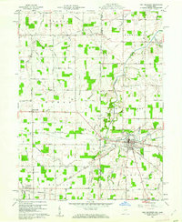
 - 1960 Map of Celina, 1961 Print
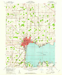 1960 Celina1961 Print · USGSCovers Mercer County, including Celina, Harbor Point, and other nearby areas
 - 1960 Map of Erastus, 1961 Print
 1960 Erastus1961 Print · USGSCovers Mercer County, including Shively, Erastus, and other nearby areas
 - 1960 Map of St. Marys, 1961 Print
 1960 St. Marys1961 Print · USGSCovers Mercer County, including Saint Marys, Hecht's Landing, and other nearby areas
 - 1960 Map of Mendon, 1961 Print
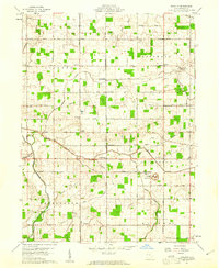
 1960 Mendon1961 Print · USGSCovers Mercer County, including Mendon, Tama, and other nearby areas
 - 1960 Map of Rockford, 1961 Print
 1960 Rockford1961 Print · USGSCovers Mercer County, including Rockford, Bursville, and other nearby areas
 - 1960 Map of Cosmos, 1961 Print
 1960 Cosmos1961 Print · USGSCovers Mercer County, including Salem, Bucks Corner, and other nearby areas
 - 1960 Map of Elgin, 1961 Print
 1960 Elgin1961 Print · USGSCovers Mercer County, including Elgin, Converse Station, and other nearby areas
Showing maps 1-25 of 60
Top cities in Mercer County
- Celina historical maps
- Coldwater historical maps
- St. Henry historical maps
- Fort Recovery historical maps
- Rockford historical maps
- Mendon historical maps
See more
Frequently asked questions
- What are the different types of historical maps available for Mercer County?
- What is the oldest map of Mercer County?
- Where can I purchase historical maps of Mercer County for my home or office?
- Where can I download high-res historical maps of Mercer County?
- Are there historical topographic maps available for Mercer County?
- Is there historical aerial imagery available for Mercer County?
- Where are historical maps of Mercer County sourced from?