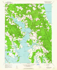
1943 Map of St. Marys City
USGS Topo · Published 1962About this map
St Marys City stands as a focal point along the eastern shore of the St Marys River during the early 1940s, a period where the landscape remained heavily defined by its deep-water coves and tidal necks. The area around St Inigoes and Beachville shows a patchwork of wooded terrain and small clearings, with local life centered on landing points like Calloway Landing and Cedar Landing. This 1943 survey, published for civil use after the Army Map Service completion, details a tidewater economy transitioning into the modern era, evidenced by the presence of MD 235 and MD 249 alongside traditional water-dependent sites such as Warehouse Pt and the Light near Priests Pt. Genealogists and historians will find significant value in the mapped locations of Zion Ch, Park Hall Sch, and family-named landmarks like Tippity Wichity I and Graveyard Pt, which reveal the historical footprint of St. Mary's County before late-century development.
Find a feature on this map
101 named features on this map. Tap any name to fly to it.
Don’t see what you’re looking for? This feature index may not catch every label — zoom into the map to look around manually.
Map Details
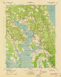
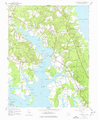
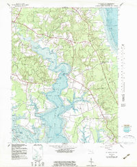
Editions of this 1943 St. Marys City Map
4 editions found
Other maps of this area

1892 · Leonardtown
USGS Topo · 1:62,500

1892 · Drum Point
USGS Topo · 1:62,500

1892 · Piney Point
USGS Topo · 1:62,500

1894 · Piney Point
USGS Topo · 1:62,500

1894 · Point Lookout
USGS Topo · 1:62,500

1895 · Leonardtown
USGS Topo · 1:62,500

1895 · Nomini
USGS Topo · 1:125,000

1895 · Piney Point
USGS Topo · 1:62,500

1898 · Nomini
USGS Topo · 1:125,000

1898 · St. Marys
USGS Topo · 1:125,000