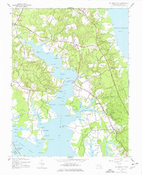
1943 Map of St. Marys City
USGS Topo · Published 1977About this map
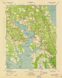
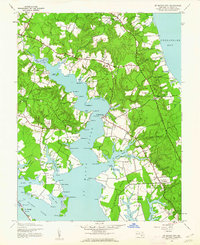
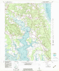
The St Marys River carves a deep path through the southern Maryland landscape, defined by a complex network of coves and points such as Rose Croft Pt and Chancellor Pt. This 1943 survey reveals a landscape steeped in early colonial history, where the core of St Marys City sits near the river's edge, surrounded by established settlements like Park Hall and St Inigoes. The map records a dense collection of landings and geographical landmarks, from Carthagena Flats to St George Island, that illustrate the importance of the waterfront to the local economy and transportation during this era. Numerous country churches, including Bethesda Ch and Zion Ch, anchor the rural crossroads. To the east, the shoreline meets the Chesapeake Bay at Turkey Neck, where tidal ponds like Norris Pond mark the transition between the fertile inland and the open water.
Find a feature on this map
98 named features on this map. Tap any name to fly to it.
Don’t see what you’re looking for? This feature index may not catch every label — zoom into the map to look around manually.
Map Details
Editions of this 1943 St. Marys City Map
4 editions found
Other maps of this area

1892 · Leonardtown
USGS Topo · 1:62,500

1892 · Drum Point
USGS Topo · 1:62,500

1892 · Piney Point
USGS Topo · 1:62,500

1894 · Piney Point
USGS Topo · 1:62,500

1894 · Point Lookout
USGS Topo · 1:62,500

1895 · Leonardtown
USGS Topo · 1:62,500

1895 · Nomini
USGS Topo · 1:125,000

1895 · Piney Point
USGS Topo · 1:62,500

1898 · Nomini
USGS Topo · 1:125,000

1898 · St. Marys
USGS Topo · 1:125,000