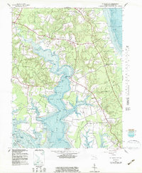
1943 Map of St. Marys City
USGS Topo · Published 1983About this map
St Marys City and the surrounding Tidewater landscape appear in 1943, defined by the deep indentations of the St Marys River and St Inigoes Creek. This coastal environment features a high density of named points and landings, such as Chancellor Pt and Rose Croft Pt, suggesting a community long oriented toward the water for both transport and livelihood. Further inland, small rural centers like Great Mills and Park Hall anchor the road network near the Eastern Branch and Western Branch.
Find a feature on this map
82 named features on this map. Tap any name to fly to it.
Don’t see what you’re looking for? This feature index may not catch every label — zoom into the map to look around manually.
Map Details
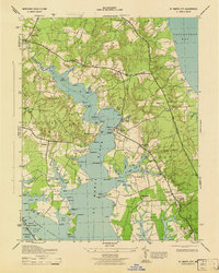
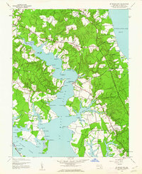
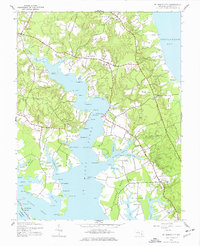
Editions of this 1943 St. Marys City Map
4 editions found
Other maps of this area

1892 · Leonardtown
USGS Topo · 1:62,500

1892 · Drum Point
USGS Topo · 1:62,500

1892 · Piney Point
USGS Topo · 1:62,500

1894 · Piney Point
USGS Topo · 1:62,500

1894 · Point Lookout
USGS Topo · 1:62,500

1895 · Leonardtown
USGS Topo · 1:62,500

1895 · Nomini
USGS Topo · 1:125,000

1895 · Piney Point
USGS Topo · 1:62,500

1898 · Nomini
USGS Topo · 1:125,000

1898 · St. Marys
USGS Topo · 1:125,000