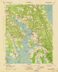
1943 Map of St. Marys City
USGS Topo · Published 1943About this map
St Marys City and its surrounding tidal landscape are captured here during the Second World War, showing the intricate relationship between the St Marys River and the small agrarian and fishing settlements of the Tidewater. The map traces the historic Three Notch Road as it winds southward toward the peninsula's tip, connecting established communities like Park Hall and Hermanville. Along the waterfront, small landings such as Broommes Wharf and Calloway Ldg indicate the local reliance on waterborne transport and the oyster-rich shallows of Carthagena Flats.
Find a feature on this map
116 named features on this map. Tap any name to fly to it.
Don’t see what you’re looking for? This feature index may not catch every label — zoom into the map to look around manually.
Map Details
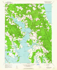
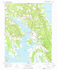
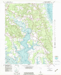
Editions of this 1943 St. Marys City Map
4 editions found
Other maps of this area

1892 · Leonardtown
USGS Topo · 1:62,500

1892 · Drum Point
USGS Topo · 1:62,500

1892 · Piney Point
USGS Topo · 1:62,500

1894 · Piney Point
USGS Topo · 1:62,500

1894 · Point Lookout
USGS Topo · 1:62,500

1895 · Leonardtown
USGS Topo · 1:62,500

1895 · Nomini
USGS Topo · 1:125,000

1895 · Piney Point
USGS Topo · 1:62,500

1898 · Nomini
USGS Topo · 1:125,000

1898 · St. Marys
USGS Topo · 1:125,000